

Maine map
Kennebunkport map
About 3,708 people live here (Census Bureau, 2024 estimate). The sheet's index lists 14 streets; Mills Road, Wildes District Road and Log Cabin Road cross the most grid squares. Things to do inside the boundary: Intown Trolley and Seashore Trolley Museum.
Open the map (PDF, US Letter)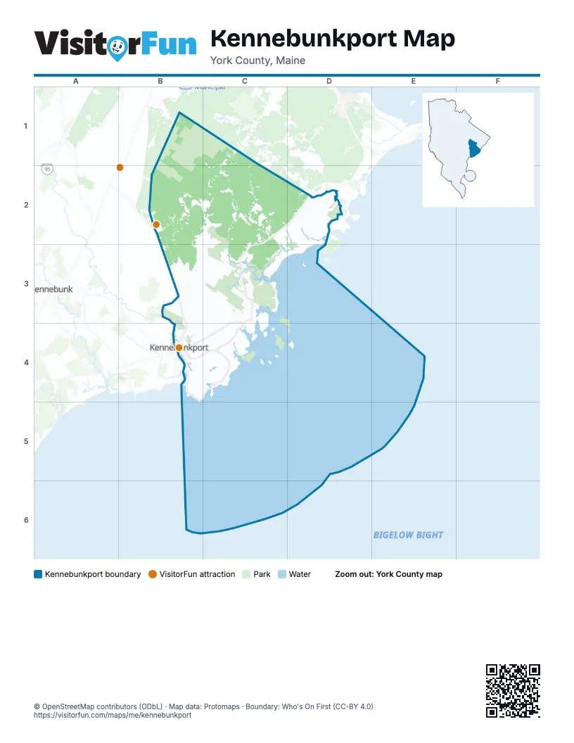
Maps inside Kennebunkport
1 map inside, from the street map of Kennebunkport down.
Street index of Kennebunkport
Each street on the sheet and the grid squares it crosses.
- Log Cabin RoadB2, B3
- Mills RoadC2, D2, C3
- Pool StreetD2
- Arundel RoadB3
- North StreetB3, B4
- Main StreetC3, C4
- Wildes District RoadC3, B4, C4
- Dock SquareB4
- Maine StreetB4
- Ocean AvenueB4, C4
- School StreetB4, C4
- Spring StreetB4
- Western AvenueB4
- Turbats Creek RoadC4
Things to do on the Kennebunkport map
Places on the map
- Arundel Cemetery
- Back Acres Airport
- Beaver Pond
- Cape Arundel Golf Club
- Cape Island
- Cape Porpoise Post Office
- Casino Hill
- Colony Beach
- Crow Hill
- Crow Swamp
- East Goose Rocks
- Emmons
- Emmons Preserve
- Fairfield Hill
- Folly Island
- Foxberry Woods
- Goose Rocks Beach
- Goosefair
- Goosefair Airport
- Green Island
- Grist Mill Pond
- Hidden Pond
- James Woods
- Kennebunkport
- Kennebunkport Historical Society Library
- Meadow Woods Preserve
- Parson's Field
- Prospect Hill
- Round Swamps
- Saco Woods
- Sandy Pines Campground
- Seashore Trolley Museum
- Shawmut Woods
- Smith Preserve
- Stage Island
- The Resort at Goose Rocks
- Town Forest
- Town Land
- Trott Island
- Tyler Brook
Next to Kennebunkport
- Kennebunk
© OpenStreetMap contributors (ODbL) · Map data: Protomaps · Boundary: Who's On First (CC-BY 4.0)