

Maine map
York County map
About 220,143 people live here (Census Bureau, 2024 estimate). Things to do inside the boundary: Aquaboggan Waterpark, Funtown Splashtown USA and HatTrick Fishing Charters. Also on it: Biddeford Municipal, Kittery Water District Lands and Leavitt Plantation Forest.
Open the map (PDF, US Letter)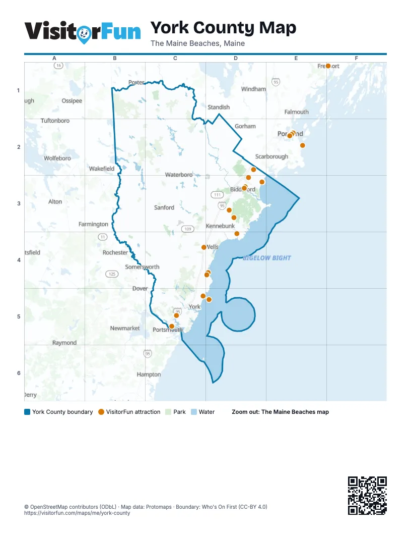
Maps inside York County
2 maps inside, from the street map of York County down.
Things to do on the York County map
- Aquaboggan Waterpark
- Funtown Splashtown USA
- HatTrick Fishing Charters
- Intown Trolley
- Maine Beaches Region Visitor Information Center
- Marginal Way
- Nubble Lighthouse
- Ogunquit Playhouse
- Old Orchard Beach
- Palace Playland
- Raptor Falls Mini Golf & Ice Cream
- Saco
- Seashore Trolley Museum
- Wells
- York's Wild Kingdom
- Yummies Candy & Nuts
Places on the map
- Biddeford Municipal
- Kittery Water District Lands
- Leavitt Plantation Forest
- Massabesic Experimental Forest
- Rachel Carson National Wildlife Refuge
- Saco Heath Preserve
- Sawyer Mountain Highlands
- Vernon S. Walker Wildlife Management Area
- Waterboro Barrens Preserve
- York Water District Lands
Next to York County
- Alton
- Derry
- Dover
- Epping
- Exeter
- Falmouth
- Farmington
- Freeport
- Gorham
- Hampton
- Newmarket
- Ossipee
- Pittsfield
- Porter
- Portland
- Portsmouth
- Raymond
- Rochester
- Scarborough
- Somersworth
- Standish
- Tuftonboro
- Wakefield
- Windham
- Wolfeboro
© OpenStreetMap contributors (ODbL) · Map data: Protomaps · Boundary: Who's On First (CC-BY 4.0)