

Michigan map
Genesee County map
About 402,279 people live here (Census Bureau, 2024 estimate). The sheet's index lists 3 streets; UAW Freeway, Chevrolet-Buick Freeway and I-75 South cross the most grid squares. Also on it: 1st Ward, Aanikegamaa Lake and Alpine Gardens.
Open the map (PDF, US Letter)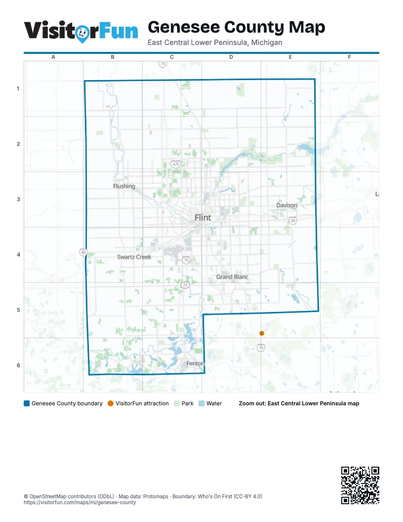
Street index of Genesee County
Each street on the sheet and the grid squares it crosses.
- UAW FreewayC2, D2, D3, D4, D5
- Chevrolet-Buick FreewayC3, D3, E3, B4, C4
- I-75 SouthD5
Places on the map
- 1st Ward
- Aanikegamaa Lake
- Alpine Gardens
- Argentine
- Argentine Township
- Arlington Manor
- Atlas County Park
- Atlas Millpond
- Atlas Township
- Atlas Valley Country Club
- Beecher
- Beechwood Estates
- Bella Vista Estates
- Bella Vista South
- Belle Meade
- Black Creek Nature Trail
- Brandywine
- Briar Ridge Golf Course
- Broadview Estates
- Buell Lake County Park
- Burton
- Byram Lake
- Calumet Woods
- Calvert Park
- Camp Copneconic
- Cider Creek
- Clayton Charter Township
- Clio
- Cochrane Drain-Kearsley Creek
- Cole Creek
- Colonial Village
- Concord Green
- Continental Estates
- Copper Ridge Golf Club
- Country Club Estates
- Creasey Bicentennial Park
- Crooked Lake
- Dauner Martin Nature Sanctuary
- Davison
- Davison Country Club
© OpenStreetMap contributors (ODbL) · Map data: Protomaps · Boundary: Who's On First (CC-BY 4.0)