

Michigan map
Kent County map
About 673,002 people live here (Census Bureau, 2024 estimate). The sheet's index lists Gerald R Ford Freeway and Paul B. Henry Freeway. Things to do inside the boundary: Frederik Meijer Gardens & Sculpture Park and Gerald R. Ford Presidential Museum.
Open the map (PDF, US Letter)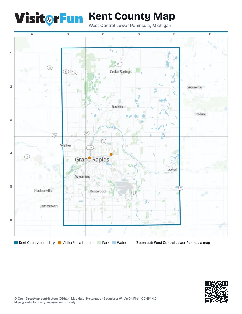
Street index of Kent County
Each street on the sheet and the grid squares it crosses.
- Gerald R Ford FreewayB4, C4, B5
- Paul B. Henry FreewayB5, C5, D5
Things to do on the Kent County map
Places on the map
- Ada Moorings
- Ada Township
- Algoma Township
- Alpine Golf Club
- Alpine Township
- Angel Lake
- Apple Valley
- Bailey Lake
- Balk Family County Park
- Ball Perkins Park
- Bass Lake
- Big Crooked Lake
- Big Pine Island Lake
- Black Lake
- Blandford Nature Center
- Blue Lake
- Blue Water Pines
- Blythefield Country Club
- Bostwick Lake
- Boulder Creek Golf Club
- Bowne Township
- Briarwood Golf Club
- Broadmoor Country Club
- Brower Lake
- Butterworth Park
- Byron Center
- Byron Township
- Caledonia
- Caledonia Charter Township
- Calvin Ecosystem Preserve
- Camp Greenwood
- Camp Lake
- Camp Tuhsmeheta
- Campau Lake
- Cannon Township
- Cannonsburg Ski Area
- Cannonsburg State Game Area
- Cascade Charter Township
- Cascade Hills Country Club
- Cascade Peace Park
Next to Kent County
- Belding
- Greenville
- Hudsonville
- Jamestown
© OpenStreetMap contributors (ODbL) · Map data: Protomaps · Boundary: Who's On First (CC-BY 4.0)