

North Carolina map
Johnston County map
About 249,794 people live here (Census Bureau, 2024 estimate). The sheet's index lists Clayton Bypass Scenic Byway. Also on it: ADESA Raleigh, Atkinson Mill Pond and Benson.
Open the map (PDF, US Letter)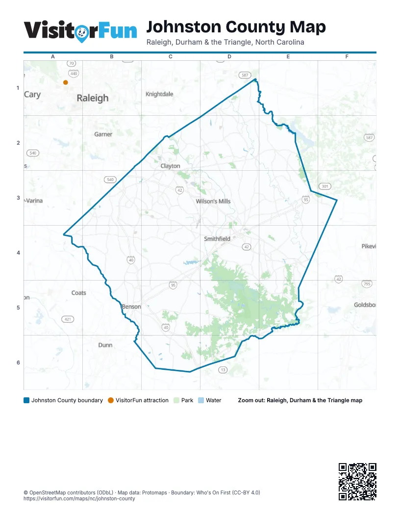
Street index of Johnston County
Each street on the sheet and the grid squares it crosses.
- Clayton Bypass Scenic BywayB3, C3
Places on the map
- ADESA Raleigh
- Atkinson Mill Pond
- Benson
- Benson Quarry
- Bentonville Battleground
- Cattail Lake
- Clayton
- Clemmons State Forest
- Cleveland Bluffs
- Cornwallis Landing Community
- East Clayton Community Park
- Four Oaks
- Fowler's Nursery
- GALOT Motorsports Park
- Holt's Lake
- Holts Pond
- Howell Woods
- Island Creek
- Johnston County
- Johnston County Landfill
- Jordan Ridge
- Kenly
- Manheim North Carolina
- Micro
- Millstone Ridge
- Neuse Golf Club
- Pine Level
- Pleasant Woods
- Princeton
- Princeton II Quarry
- Raccoon Swamp
- Reedy Creek Golf Course
- Riverwood
- Riverwood Golf Club
- Selma
- Shadow Lakes
- Silverstone
- Smithfield
- South Creek
- Southills
Next to Johnston County
- Cary
- Coats
- Dunn
- Fuquay-Varina
- Garner
- Goldsboro
- Knightdale
- Pikeville
- Raleigh map
© OpenStreetMap contributors (ODbL) · Map data: Protomaps · Boundary: Who's On First (CC-BY 4.0)