

North Carolina map
New Hanover County map
About 243,333 people live here (Census Bureau, 2024 estimate). The sheet's index lists 4 streets; John Jay Burney Junior Freeway, Michael Jordan Highway and Cape Fear Memorial Bridge cross the most grid squares. Things to do inside the boundary: Battleship North Carolina.
Open the map (PDF, US Letter)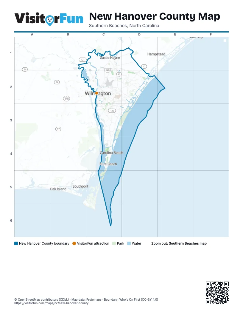
Street index of New Hanover County
Each street on the sheet and the grid squares it crosses.
- John Jay Burney Junior FreewayC1, D1, C2, D2
- Michael Jordan HighwayC1, C2
- Cape Fear Memorial BridgeC2
- Martin Luther King Jr ParkwayC2
Things to do on the New Hanover County map
Places on the map
- Adm Submerged Land
- Bayshore
- Cape Fear Royal Tracts
- Carolina Beach
- Carolina Beach State Park
- Castle Hayne
- Coastal Mangement-Masonboro Estaurine Resource Pre
- Eagle Point Golf Club
- Fort Fisher State Park
- Fortron Industries
- Freeman Park
- Greenfield Lake
- Hightsville
- Kings Grant
- Kure Beach
- Lake Sutton
- Long Leaf Park
- Lords Creek
- Main Course
- Murraysville
- Myrtle Grove
- New Hanover County
- Ocean Forest Lakes
- Ogden
- Ogden Park
- Pine Valley Country Club
- Port of Wilmington
- Porters Neck
- Sea Breeze
- Silver Lake
- Skippers Corner
- Smith Creek Park
- Sutton Combined Cycle Plant
- The Lake at RiverLights
- Wilmington
- Wrightsboro
- Wrightsville Beach
Next to New Hanover County
- Hampstead
- Leland
- Oak Island
- Southport
© OpenStreetMap contributors (ODbL) · Map data: Protomaps · Boundary: Who's On First (CC-BY 4.0)