

North Carolina map
Smoky Mountains & Cherokee map
The sheet's index lists 12 highways; US 64, US 74 and US 19 cross the most grid squares. Things to do inside the boundary: Great Smoky Mountains Railroad and Harrah's Cherokee Casino Resort. Also on it: Andrews, Bryson City and Canton.
Open the map (PDF, US Letter)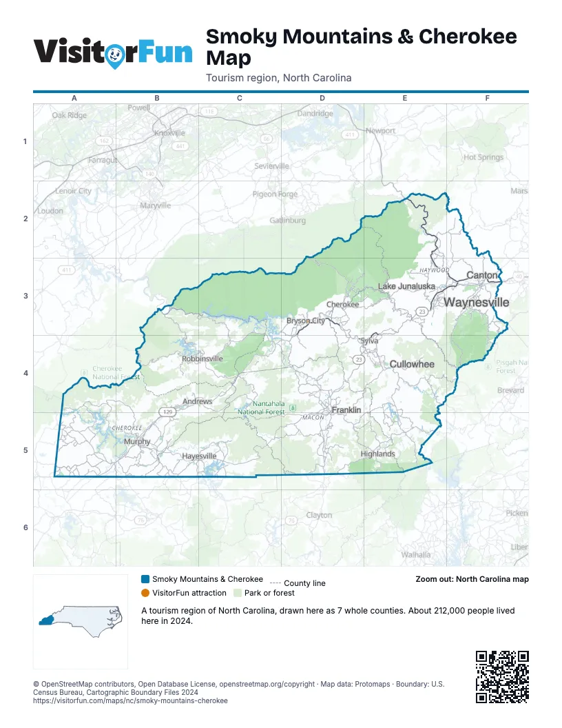
Highway index of Smoky Mountains & Cherokee
Each highway on the sheet and the grid squares it crosses.
- I-40E2, E3, F3
- US 19B4, B5, C4, D3, D4, E3, F3
- US 23D4, D5, E3, E4, F3
- US 64A5, B5, C5, D4, D5, E3, E4, E5, F3
- US 74A5, B4, B5, C4, D3, D4, E3, E4, F3
- US 129B4, B5, C4
- US 441D2, D3, D4, D5
- GA 17B5
- NC 28C4, D4
- NC 69B5
- NC 107E4, E5
- GA 515B5
Things to do on the Smoky Mountains & Cherokee map
Places on the map
- Andrews
- Bryson City
- Canton
- Cherokee
- Cullowhee
- Franklin
- Hayesville
- Highlands
- Lake Junaluska
- Murphy
- Robbinsville
- Sylva
- Waynesville
Next to Smoky Mountains & Cherokee
- Northeast Georgia Mountains
- Northwest Georgia
- Asheville & the Foothills map
- Lake Hartwell Country
- East Tennessee
© OpenStreetMap contributors, Open Database License, openstreetmap.org/copyright · Map data: Protomaps · Boundary: U.S. Census Bureau, Cartographic Boundary Files 2024