

Nebraska map
Lancaster County map
About 332,857 people live here (Census Bureau, 2024 estimate). The sheet's index lists Homestead Expressway and Nebraska Highway 2. Things to do inside the boundary: Lincoln, Memorial Stadium and Nebraska State Capitol.
Open the map (PDF, US Letter)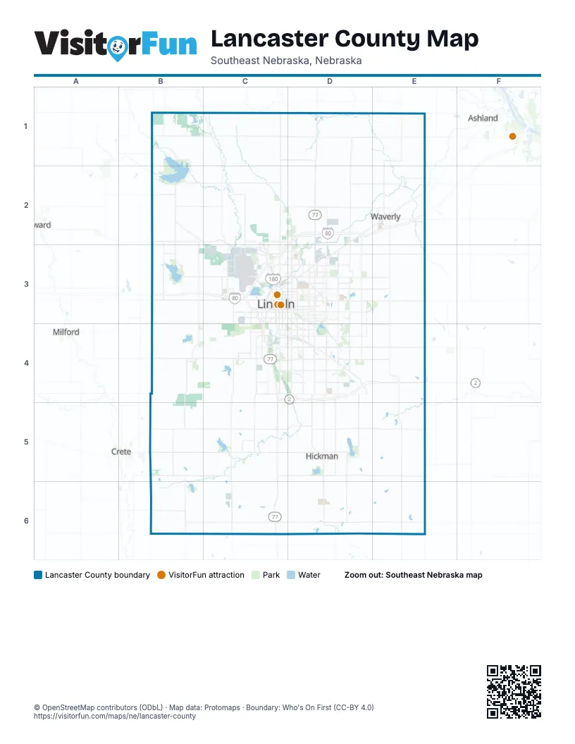
Maps inside Lancaster County
1 map inside, from the street map of Lancaster County down.
Street index of Lancaster County
Each street on the sheet and the grid squares it crosses.
- Homestead ExpresswayC3, C4
- Nebraska Highway 2C4, D4, E4
Things to do on the Lancaster County map
Places on the map
- 2 Blocks LLC
- 2012 Nebraska Farm Trust
- 4193 LLC
- AgInvest
- Airport Entry Corridor
- Almond Opportunity LLC
- Amandla LLC
- Anderson North Park
- Antelope Creek Greenway
- Antelope Park
- Antelope Park North
- Antelope Park South
- Arbor Lake Park
- Archer Daniels Midland Company
- Arnold Heights
- Arnold Heights Public Area
- Ashley Heights
- Autumn Wood
- B & J Partnership Limited
- B & J Partnership Ltd
- Baby Bull LLC
- Battle Run Golf Course
- Bayer Family LLC
- Beal Slough Greenway
- Belmont
- Bennet
- Bethany Heights
- Bicentennial Estates
- Big Thompson Creek
- Bishop Heights
- Bluestem Heights
- Bluestem Lake
- Bluestem State Recreation Area
- Bobcat Prairie
- Boulder Ridge
- Branched Oak Lake
- Branched Oak State Recreation Area
- Branched Oak State Wildlife Management Area
- Briarhurst
Next to Lancaster County
- Ashland
- Crete
- Milford
- Seward
© OpenStreetMap contributors (ODbL) · Map data: Protomaps · Boundary: Who's On First (CC-BY 4.0)