

Nebraska map
Southeast Nebraska map
The sheet's index lists 7 highways; I-80, US 77 and US 81 cross the most grid squares. Things to do inside the boundary: Homestead National Historical Park, Indian Cave State Park and Lee G. Simmons Wildlife Safari Park. Also on it: Ashland, Auburn and Aurora.
Open the map (PDF, US Letter)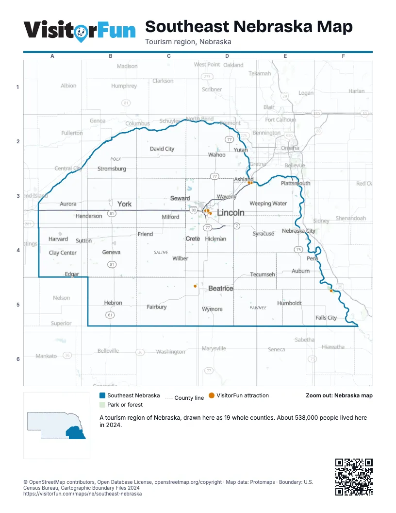
Highway index of Southeast Nebraska
Each highway on the sheet and the grid squares it crosses.
- I-80A3, B3, C3, D3
- I-180D3
- US 34B3, D3, E3
- US 75E3, E4, E5
- US 77D2, D3, D4, D5
- US 81B2, B3, B4, B5
- IA 2E4
Things to do on the Southeast Nebraska map
Places on the map
- Ashland
- Auburn
- Aurora
- Beatrice
- Clay Center
- Crete
- David City
- Edgar
- Fairbury
- Falls City
- Friend
- Geneva
- Harvard
- Hebron
- Henderson
- Hickman
- Humboldt
- Lincoln
- Milford
- Nebraska City
- Peru
- Plattsmouth
- Seward
- Stromsburg
- Sutton
- Syracuse
- Tecumseh
- Wahoo
- Waverly
- Weeping Water
- Wilber
- Wymore
- York
- Yutan
Next to Southeast Nebraska
- Loess Hills and Beyond
- North Central Kansas
- Northeast Kansas
- Northwest Missouri
- Metro Nebraska map
- Northeast Nebraska map
- South Central Nebraska map
© OpenStreetMap contributors, Open Database License, openstreetmap.org/copyright · Map data: Protomaps · Boundary: U.S. Census Bureau, Cartographic Boundary Files 2024