

Nevada road map
City of Las Vegas, Las Vegas Boulevard State Scenic Byway map
The City of Las Vegas, Las Vegas Boulevard State Scenic Byway has been a National Scenic Byway since 2009, named for its scenic qualities: about 3 miles in Nevada. It meets 7 highways, among them I-11, US 93 and US 95. Towns along it: Las Vegas.
Open the map (PDF, US Letter)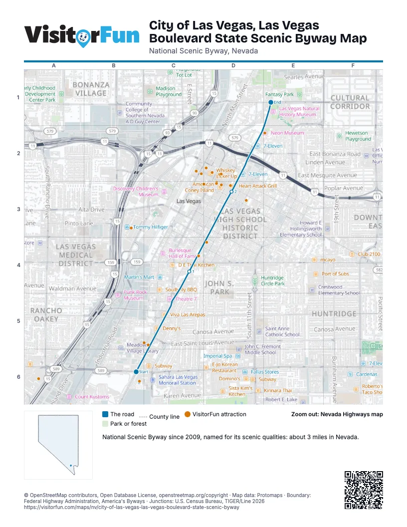
Highways it meets
Each highway it meets and the grid squares where they meet.
- NV 159C4
- I-11D3
- US 95D3
- US 93D3
- NV 579D3
- NV 602D3
- NV 578E1
Towns along the City of Las Vegas, Las Vegas Boulevard State Scenic Byway
In mile order, with the grid square of each.
- Las Vegasmile 0, C6
- Winchestermile 0, C6
Things to do on the City of Las Vegas, Las Vegas Boulevard State Scenic Byway map
- Adventuredome
- Battlefield Vegas
- Circus Circus Las Vegas
- Fontainebleau Las Vegas
- Sahara Las Vegas
- Rouge
- The STRAT
- Las Vegas North Premium Outlets
- Town Square Las Vegas
- Gold & Silver Pawn Shop
- Ameri-Trip
- Comedy on Deck Tours
- Hollywood Cars Museum
- Nostalgia Street Rods
- Golden Nugget Las Vegas
- Downtown Container Park
- Four Queens
- Fremont Street Experience
- Golden Gate Hotel & Casino
- Las Vegas Guided Tours
- The D Las Vegas
- Binion's Gambling Hall
- Hypnosis Unleashed
- Circa Resort & Casino
- Fremont Hotel & Casino
- The Mob Museum
- The Neon Museum
- Jerry's Nugget
© OpenStreetMap contributors, Open Database License, openstreetmap.org/copyright · Map data: Protomaps · Boundary: Federal Highway Administration, America's Byways · Junctions: U.S. Census Bureau, TIGER/Line 2026















