

Nevada map
Reno Metro Area map
The sheet's index lists 4 highways; I-80, US 395 and I-580 cross the most grid squares. Things to do inside the boundary: Lake Tahoe Shakespeare Festival, Mt. Rose Ski Tahoe and Reno Arch. Also on it: Dayton, Fernley and Incline Village.
Open the map (PDF, US Letter)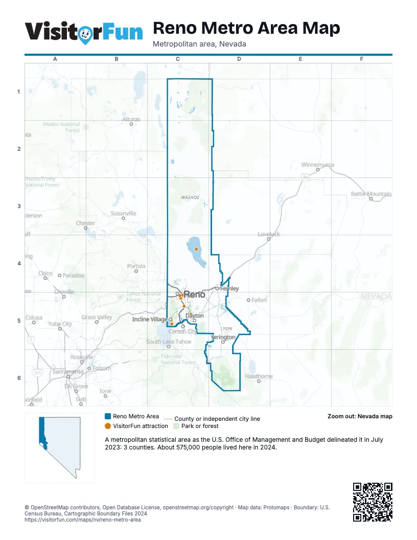
Highway index of Reno Metro Area
Each highway on the sheet and the grid squares it crosses.
- I-80C4, C5, D4
- I-580C5
- US 95D4
- US 395C4, C5
Things to do on the Reno Metro Area map
- Lake Tahoe Shakespeare Festival
- Mt. Rose Ski Tahoe
- Reno Arch
- Virginia and Truckee Railroad
- Atlantis Casino Resort Spa
- Dini's Lucky Club
- Grand Lodge Casino
- Grand Sierra Resort
- National Automobile Museum
- Nevada Museum of Art
- Peppermill Resort Spa Casino
- Pyramid Lake
- Rail City Casino
- Reno Outdoors
- Reno Riverwalk District
- Silver Legacy Resort Casino
- Vista Trail Bikes
- WildSlide Tahoe
Places on the map
- Dayton
- Fernley
- Incline Village
- Reno
- Yerington
© OpenStreetMap contributors, Open Database License, openstreetmap.org/copyright · Map data: Protomaps · Boundary: U.S. Census Bureau, Cartographic Boundary Files 2024















