

New York map
Castle Hill map
A printable two-page map of Castle Hill (The Bronx, New York), drawn by VisitorFun from OpenStreetMap. Page two is the street index: every street on the sheet with its grid square, the same list as below.
Open the map (PDF, US Letter)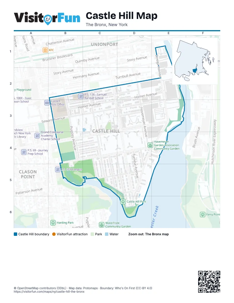
Street index of Castle Hill
Each street on the sheet and the grid squares it crosses.
- Stickball BoulevardB2
- Lafayette AvenueC2, E2
- Virgil PlaceC2, D2, B3
- Homer AvenueD2, E2, B3, C3
- Zerega AvenueE2, E3, D4, E4, D5, D6
- Pugsley AvenueB3, B4
- Olmstead AvenueC3, C4, C5
- Randall AvenueC3, D3, E3, C4
- Seward AvenueC3, E3
- Cincinnatus AvenueD3
- Barrett AvenueB4, B5, C5, D5
- Caesar PlaceB4, C4
- Cicero AvenueB4, C4
- Howe AvenueC4, D5, D6
- Lacombe AvenueC4, D4, E4
- Screvin AvenueC4
- Torry AvenueC4, C5
- Castle Hill AvenueD4, D5, D6
- Effingham AvenueD4, D5
- Havemeyer AvenueD4
- Turneur AvenueD4, D5
- Norton AvenueC5, D5
- Hart StreetD6
Places on the map
- Adlai E Stevenson Educational Campus
- Castle Hill Houses
- Castle Hill Park
- Castle Hill YMCA
- Golden Mango
- Havemeyer Garden Association Community Garden
- Jamie tower pool
- Jamie Towers
- P.S. 138 - Samuel Randall School
- St. Andrews Village
- Zerega Avenue Landfill
Next to Castle Hill
- Clason Point
- Unionport map
© OpenStreetMap contributors (ODbL) · Map data: Protomaps · Boundary: Who's On First (CC-BY 4.0)