

New York map
LaGuardia Airport District map
A printable two-page map of LaGuardia Airport District (Queens, New York), drawn by VisitorFun from OpenStreetMap. Page two is the street index: every street on the sheet with its grid square, the same list as below.
Open the map (PDF, US Letter)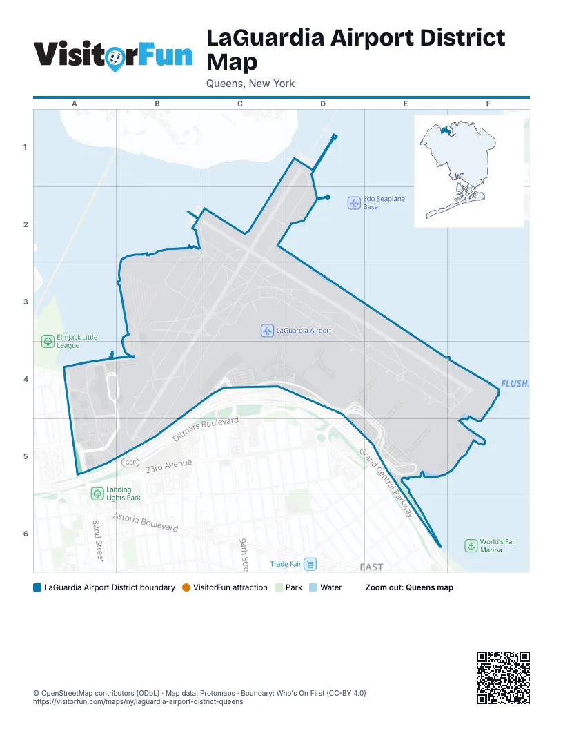
Street index of LaGuardia Airport District
Each street on the sheet and the grid squares it crosses.
- 21st AvenueA4
- 81st StreetA4, A5
- Bowery Bay BoulevardA4, B4, A5
- Bowery Bay ExtensionA4
- Fiorello LaneA4, B4
- Marine Terminal RoadA4, B4, A5, B5
- Runway DriveB4, C4, A5, B5
- 94th StreetC4
- Central Terminal DriveC4
- Column JC4
- Columns E-FC4
- Columns F-GC4
- Columns G-HC4
- Columns H-JC4
- LaGuardia RoadC4, D4, E5
- Terminal B ArrivalsC4, D4
- Terminal B DeparturesC4, D4
- Terminal C DeparturesD4, E5
- Terminal C Inner ArrivalsD4, E5
- Terminal C Outer ArrivalsD4, E5
- Bus EntranceA5
- BusesA5
- Car ReturnA5
- Ditmars BoulevardA5
- Terminal C ArrivalsE5
- Terminal C Inner DeparturesE5
- Terminal C Outer DeparturesE5
Places on the map
- Daily Parking - Terminal C
- Eastern Concourse
- Hertz
- LaGuardia Airport
- Marine Air Terminal
- Mobil
- Port Authority Police
- Terminal A Parking
- Terminal B
- Terminal B East Pedestrian Bridge
- Terminal B Parking Garage
- Terminal B West Pedestrian Bridge
- Terminal C
© OpenStreetMap contributors (ODbL) · Map data: Protomaps · Boundary: Who's On First (CC-BY 4.0)