

New York map
Otsego map
About 3,628 people live here (Census Bureau, 2024 estimate). The sheet's index lists 12 streets; County Highway 26, State Route 80 and State Highway 28 cross the most grid squares. Things to do inside the boundary: Cooperstown and National Baseball Hall of Fame and Museum.
Open the map (PDF, US Letter)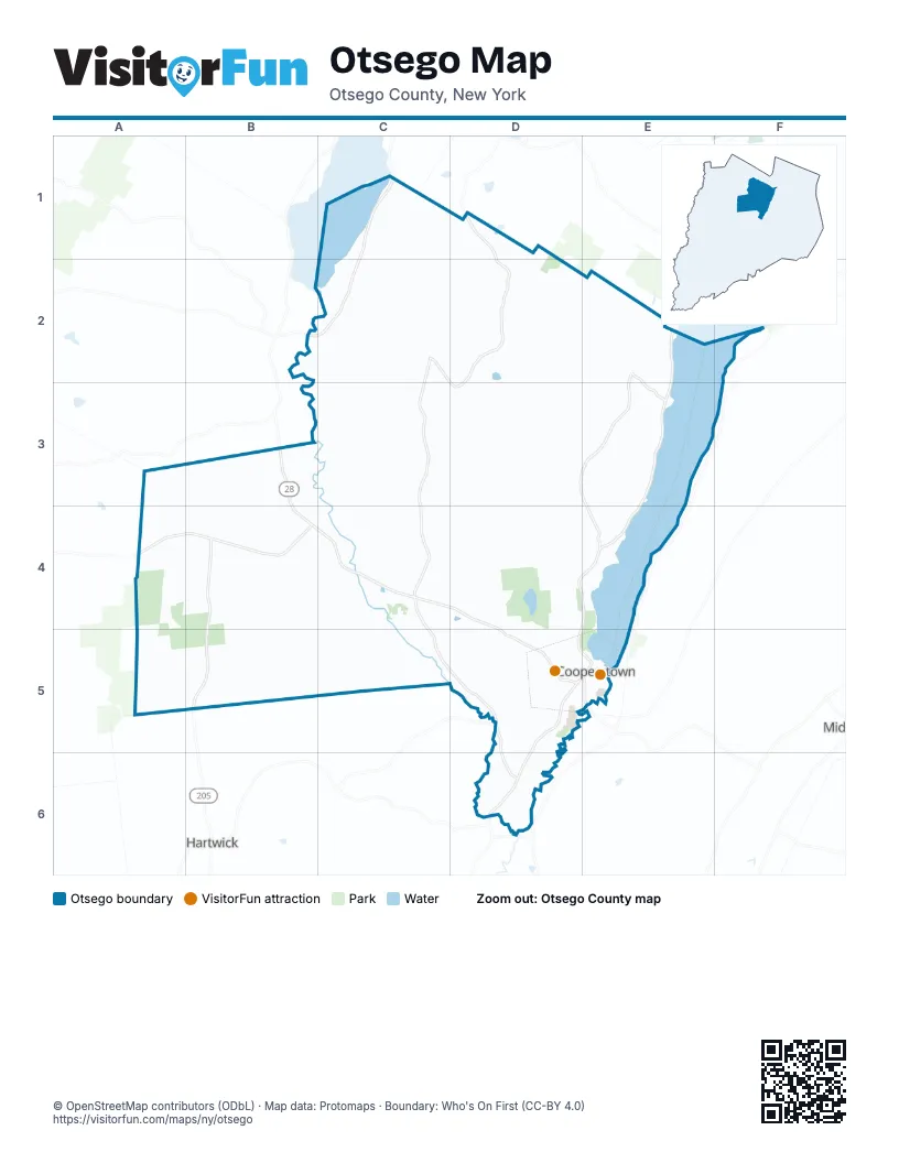
Maps inside Otsego
1 map inside, from the street map of Otsego down.
Street index of Otsego
Each street on the sheet and the grid squares it crosses.
- East Lake RoadC1, C2
- County Highway 26D1, C2, D2, C3, D3, C4, C5, D5, D6
- County Road 22B2, C2
- County Highway 28E2, D3, E3, E4
- State Route 80E2, E3, A4, B4, D4, E4, D5
- State Highway 28B3, B4, C4, D4, D5, D6
- State Highway 205B4, B5
- Chestnut StreetD5, E5
- County Highway 59D5
- Glen AvenueD5
- Lake StreetD5, E5
- Susquehanna AvenueE5
Things to do on the Otsego map
Places on the map
- Bassett Medical Center
- Cooper Lane Apartments
- Cooperstown Elementary School
- Farmers' Museum
- Fitch Hill
- Fly Creek
- Fly Creek Valley Cemetery
- Hartwick State Forest
- Leatherstocking Golf Course
- Metcalf Hill
- Moe Pond
- Muskrat Pond
- Otsego Lake
- Panther Mountain
- Red House Hill
- Town of Otsego
- Tunnicliff Hill
- United States Post Office
- Upper Research Site
- Village Library of Cooperstown
- Village of Cooperstown
Next to Otsego
- Hartwick
© OpenStreetMap contributors (ODbL) · Map data: Protomaps · Boundary: Who's On First (CC-BY 4.0)