

New York map
Otsego County map
About 60,524 people live here (Census Bureau, 2024 estimate). Things to do inside the boundary: Cooperstown and National Baseball Hall of Fame and Museum. Also on it: Arnold Lake, Arnold Lake State Forest and Basswood Pond State Forest.
Open the map (PDF, US Letter)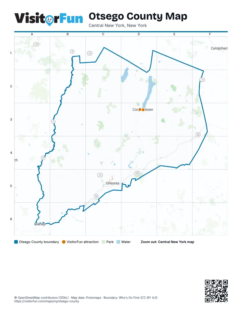
Maps inside Otsego County
1 map inside, from the street map of Otsego County down.
Things to do on the Otsego County map
Places on the map
- Arnold Lake
- Arnold Lake State Forest
- Basswood Pond State Forest
- Bear Swamp State Forest
- Buck Horn Lake
- Burlington Flats
- Calhoun Creek State Forest
- Canadarago Lake
- Cherry Valley State Forest
- City of Oneonta
- Clark Sports Center
- Cooperstown Dreams Park
- Cooperstown-Westville Airport
- Crumhorn Lake
- Decatur State Forest
- East Worcester
- Edmeston
- Exeter State Forest
- Fly Creek
- Garrattsville
- General Jacob Morris State Forest
- Gilbert Lake
- Gilbert Lake State Park
- Glimmerglass State Park
- Goodyear Lake
- Hartwick
- Hartwick Seminary
- Hartwick State Forest
- Henderson Scout Reservation
- Honey Hill State Forest
- Hooker Mountain State Forest
- Larchwood Lake
- Leatherstocking Golf Course
- Maple Valley State Forest
- Milford State Forest
- Mount Vision
- Neahwa Park
- Oneonta Country Club
- Oneonta Municipal Airport
- Otsego County
Next to Otsego County
- Canajoharie
- Sidney
© OpenStreetMap contributors (ODbL) · Map data: Protomaps · Boundary: Who's On First (CC-BY 4.0)