

Ohio map
Clermont County map
About 214,123 people live here (Census Bureau, 2024 estimate). The sheet's index lists Circle Freeway and James A. Rhodes Appalachian Highway. Also on it: Airport Industrial Park, Amelia and Amelia Park.
Open the map (PDF, US Letter)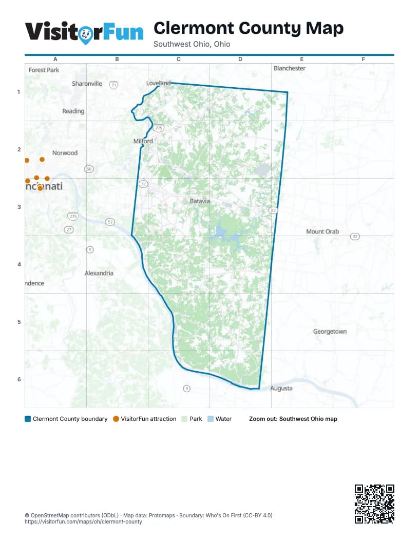
Street index of Clermont County
Each street on the sheet and the grid squares it crosses.
- Circle FreewayB1, C1, C2, B3, C3
- James A. Rhodes Appalachian HighwayC3, D3
Places on the map
- Airport Industrial Park
- Amelia
- Amelia Park
- Arcadia
- Ashton Woods
- Batavia
- Batavia Lakes
- Batavia Township
- Beckjord Ash Pit
- Beechmont Park
- Belle Meade
- Bethel
- Billingsley
- Black Horse Run
- Black Horse Run Estates
- Bob McEwen Water Treatment
- Bramblewood
- Brandonmore
- Braxton Parke
- Bridlewood
- Bristol Lake
- Buxton Meadows
- Cameron Crossing
- Camp Crossroads
- Carriage Run
- CECOS International
- Cedar Trace
- Cedarcreek
- Chilo
- Clermont County
- Clermont County Bauer Campus
- Clingman Park
- Commons of East Fork
- Country Club Estates
- Crosspointe
- Crystal Creek
- Dan Beard Reservation
- Day Heights
- Deerhaven
- Dieckman Acers
Next to Clermont County
- Alexandria
- Augusta
- Blanchester
- Blue Ash
- Cincinnati map
- Forest Park
- Fort Thomas
- Georgetown
- Loveland
- Mount Orab
- Norwood
- Reading
- Saint Bernard
- Sharonville
© OpenStreetMap contributors (ODbL) · Map data: Protomaps · Boundary: Who's On First (CC-BY 4.0)