

Pennsylvania map
Washington County map
About 210,434 people live here (Census Bureau, 2024 estimate). The sheet's index lists 5 streets; Dwight D Eisenhower Highway, Southern Beltway and Mon/Fayette Expressway cross the most grid squares. Things to do inside the boundary: Pennsylvania Trolley Museum and Washington County, PA.
Open the map (PDF, US Letter)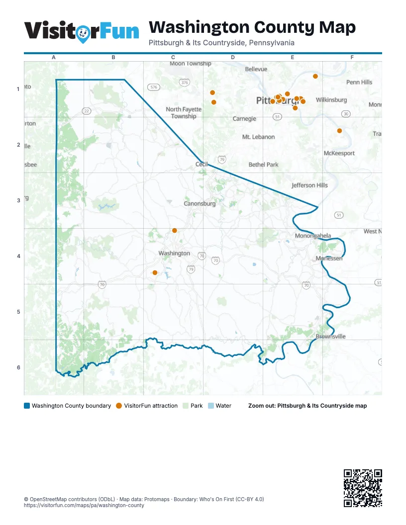
Street index of Washington County
Each street on the sheet and the grid squares it crosses.
- Southern BeltwayB1, C1, C2, D2, D3
- Raymond P Shafer HighwayD2, C3, D3, C4
- Mon/Fayette ExpresswayE3, E4, E5, F5, E6
- Dwight D Eisenhower HighwayA4, B4, C4, D4, E4, A5, B5, E5, F5
- USS West Virginia Memorial HighwayA5
Things to do on the Washington County map
Places on the map
- Allenport
- Amwell Township
- Arden Landfill
- Baidland
- Beallsville
- Bentleyville
- Blaine Township
- Boone Reservoir
- Buffalo Township
- Burgettstown
- California
- California Technology Park
- Canonsburg
- Canonsburg Lake
- Canonsburg Town Park
- Canton Township
- Carroll Township
- Cecil-Bishop
- Centerville
- Charleroi
- Chartiers Township
- Cherry Valley Reservoir
- Chippewa Golf Club
- Claysville
- Coal Center
- Cokeburg
- Cross Creek County Park
- Cross Creek Lake
- Cross Creek Township
- Deemston
- Donegal Township
- Donora
- Dunlevy
- Dutch Fork Lake
- East Bethlehem Township
- East Finley Township
- East Washington
- Elco
- Ellsworth
- Fallowfield Township
Next to Washington County
- Baldwin
- Bellevue
- Bethel Park
- Brownsville
- Carnegie
- Dormont
- Jefferson Hills
- McKeesport
- Monessen
- Moon Township
- Mt. Lebanon
- North Fayette Township
- Penn Hills
- Pittsburgh map
- Robinson Township
- South Fayette Township
- South Park Township
- Upper St. Clair
- Weirton
- West Newton
- Whitehall
- Wilkinsburg
© OpenStreetMap contributors (ODbL) · Map data: Protomaps · Boundary: Who's On First (CC-BY 4.0)