

Pennsylvania map
York County map
About 471,240 people live here (Census Bureau, 2024 estimate). The sheet's index lists 4 streets; Pennsylvania Turnpike, US 30 and Wright's Ferry Bridge cross the most grid squares. Things to do inside the boundary: Magic and Wonder Dinner Theater.
Open the map (PDF, US Letter)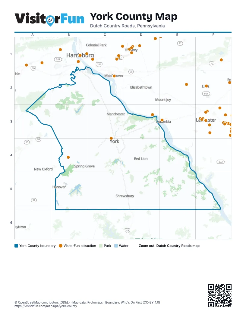
Street index of York County
Each street on the sheet and the grid squares it crosses.
- Pennsylvania TurnpikeB1, B2, C2
- US 30C3, C4
- Wright's Ferry BridgeD3
- Baltimore-Harrisburg ExpresswayD6
Things to do on the York County map
Places on the map
- Apollo County Park
- Black Gut
- Bridgewater
- Brunner Island Environmental Preserve
- Brunner Island Power Station
- Carroll Township
- Cash for Cars York Haven
- Central York School District
- Chanceford Township
- Codorus Township
- Conewago Township
- Cool Creek Golf Course
- Country Club of York
- County Line Quarry
- Cross Roads
- Dallastown
- Defense Distribution Depot Susquehanna
- Delta
- Dillsburg
- Dover
- Dover Township
- East Hopewell Township
- East Manchester Township
- East Prospect
- East York
- Eastern York School District
- Emigsville
- Fairview Township
- Fawn Grove
- Fawn Township
- Felton
- Franklin Township
- Franklintown
- Gettysburg Farm RV Campground
- Gifford Pinchot State Park
- Glen Rock
- Goldsboro
- Hallam
- Hanover
- Hanover Country Club
Next to York County
- Colonial Park
- Columbia
- Elizabethtown
- Harrisburg
- Hershey
- Lancaster
- Lititz
- Manchester
- Middletown
- Mount Joy
- New Oxford
- Palmyra
- Taneytown
© OpenStreetMap contributors (ODbL) · Map data: Protomaps · Boundary: Who's On First (CC-BY 4.0)