

South Carolina map
Anderson County map
About 217,183 people live here (Census Bureau, 2024 estimate). Also on it: Anderson, Anderson Quarry and Anderson Regional Airport. 13 smaller maps sit inside it.
Open the map (PDF, US Letter)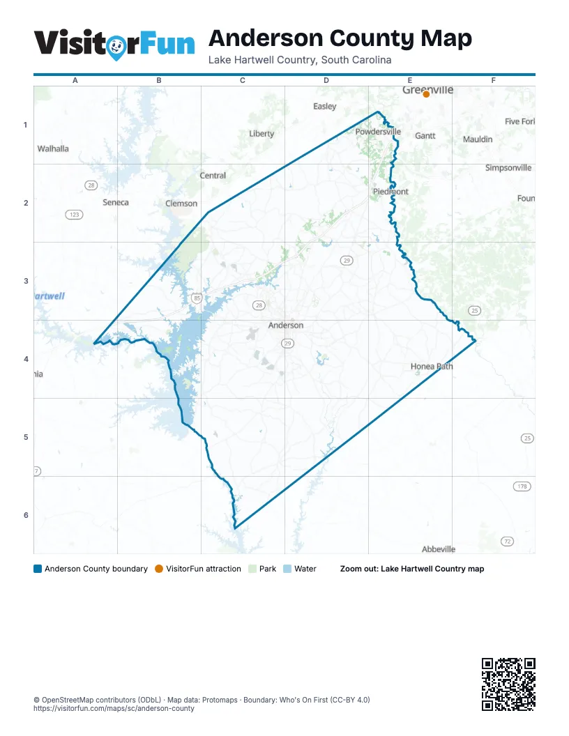
Places on the map
- Anderson
- Anderson County
- Anderson Quarry
- Anderson Regional Airport
- Anderson Reservoir
- Belton
- Birch River
- Boscobel Golf Club
- Broadway Lake
- Brookstone Meadows
- Caledonia
- Centerville
- Chestnut Springs
- Cobbs Glen Country Club
- Electrolux Home Products
- Fant's Grove - Clemson University Forest
- Farmington
- First Quality Tissue
- Hammond Hall
- Homeland Park
- Honea Path
- Iva
- John S Rainey Power Plant
- Leacroft
- Northlake
- Owens Corning
- Pelzer
- Pendleton
- Pendleton Plantation
- Piedmont
- Powdersville
- Regency Circle
- Ridgewood Plantation
- River Forks Island
- Rose Hill
- Sadlers Creek State Park
- Saluda River
- Saluda Valley Golf Course
- Shaw Island
- Southern Oaks
Next to Anderson County
- Abbeville
- Central
- Clemson
- Easley
- Five Forks
- Gantt
- Greenville
- Liberty
- Mauldin
- Seneca
- Simpsonville
- Walhalla
© OpenStreetMap contributors (ODbL) · Map data: Protomaps · Boundary: Who's On First (CC-BY 4.0)