

South Carolina map
Berkeley County map
About 264,276 people live here (Census Bureau, 2024 estimate). The sheet's index lists Clements Ferry Road South and Mark Clark Expressway. Also on it: Avian Commons, Bates Pond and Bee Tree Bay.
Open the map (PDF, US Letter)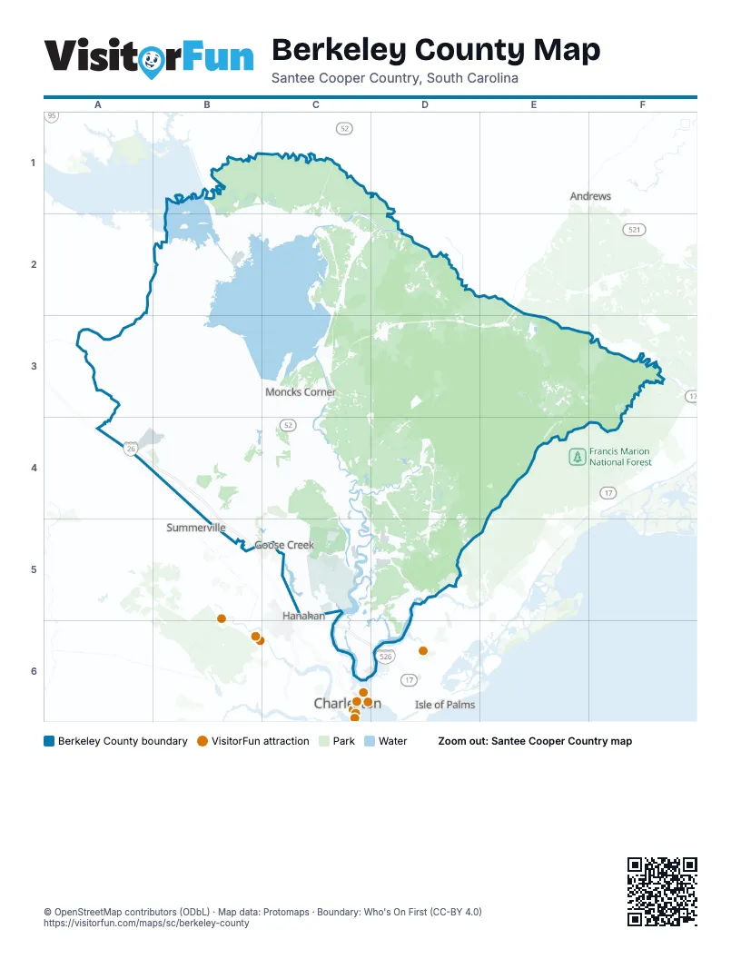
Street index of Berkeley County
Each street on the sheet and the grid squares it crosses.
- Clements Ferry Road SouthC6
- Mark Clark ExpresswayC6, D6
Places on the map
- Avian Commons
- Bates Pond
- Bee Tree Bay
- Beresford Hall Assembly
- Berkeley County
- Berkeley County Landfill
- Big David
- Black Tom Bay
- Boggy Head Bay
- Boggy Swamp
- Bonneau
- Bulltown Bay
- Captain's Island
- Caton Bay
- Caton Creek
- Chimney Island
- Chipper Swamp
- Church Island
- Coingtee Lake
- Conifer Hall
- Crooked Bay
- Cross Generating Station
- Crowfield Golf Club
- Crowfield Lake
- Cypress Plantation
- Cypress Ridge
- Cypress Swamp
- Daisy Swamp
- DAK Americas
- Daniel Island Club
- Darlington Swamp
- Del Webb
- Del Webb Point Hope
- Dog Swamp
- Ellory Swamp
- Fairmont South
- Felder Creek
- Forest Edge
- Foxbank Plantation
- French Quarter Creek
Next to Berkeley County
- Andrews
- Charleston
- Isle of Palms
- Mount Pleasant
- North Charleston
- Summerville
© OpenStreetMap contributors (ODbL) · Map data: Protomaps · Boundary: Who's On First (CC-BY 4.0)