

South Carolina map
Lexington County map
About 313,774 people live here (Census Bureau, 2024 estimate). The sheet's index lists Veterans Memorial Freeway and William Earle Berne Beltway. Also on it: 3 Rivers Greenway, Apollo Estates and Arrants Pond.
Open the map (PDF, US Letter)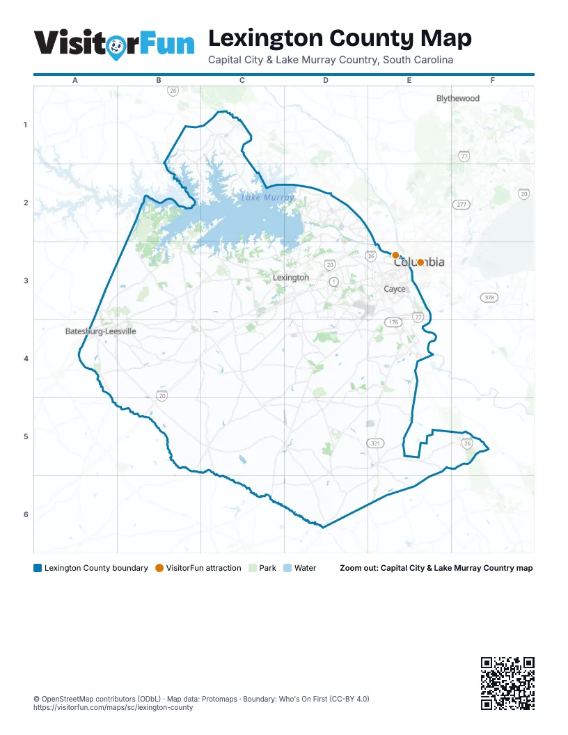
Street index of Lexington County
Each street on the sheet and the grid squares it crosses.
- Veterans Memorial FreewayE3
- William Earle Berne BeltwayE3
Places on the map
- 3 Rivers Greenway
- Apollo Estates
- Arrants Pond
- Ashton Lakes
- Batesburg-Leesville
- Bluefield
- Bluefield West
- Boykin Hills
- Cassique
- Cayce
- Cayce Riverwalk
- Chapin
- Charwood Country Club
- Charwood Golf Club
- CMC Steel
- Coldstream
- Colony Lakes
- Congaree River
- Country Club of Lexington
- Creekwood
- Crescent Ridge
- Crystal Spring Lake
- Farm Chase
- Ferry Grove
- Finlay Farms
- Fort Pond
- Fox Crossing
- Garden Pond
- Gaston
- Gilbert
- Gunters Pond
- Harbour Watch
- Heritage Farm
- Hidden Valley Golf Club
- Hunter's Mill
- Indian Trail Golf Course
- Insurance Auto Auctions
- Irmo
- Kelsey Glen
- Lake Murray
Next to Lexington County
- Blythewood
- Columbia
© OpenStreetMap contributors (ODbL) · Map data: Protomaps · Boundary: Who's On First (CC-BY 4.0)