

Texas map
Hays County map
About 292,029 people live here (Census Bureau, 2024 estimate). The sheet's index lists 45 Southwest Toll Road and Purple Heart Trail. Things to do inside the boundary: Salt Lick BBQ, San Marcos and Tanger Outlets San Marcos.
Open the map (PDF, US Letter)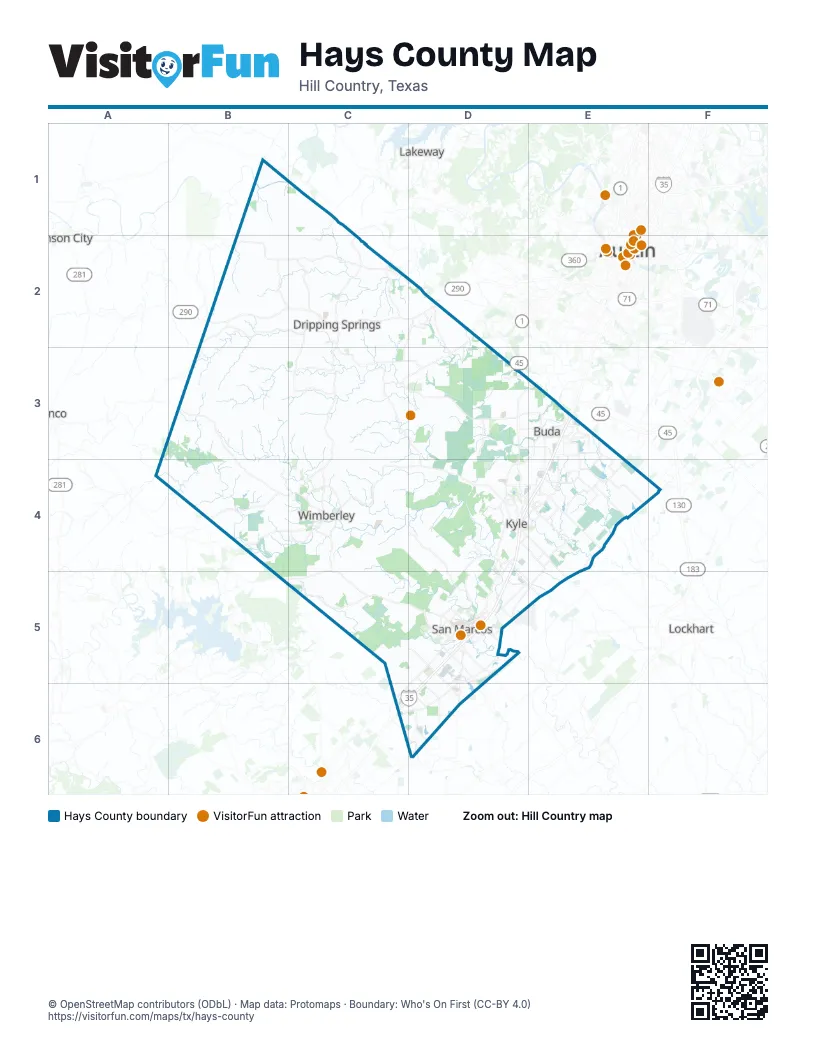
Street index of Hays County
Each street on the sheet and the grid squares it crosses.
- 45 Southwest Toll RoadD3, E3
- Purple Heart TrailE3, D4, E4, D5
Things to do on the Hays County map
Places on the map
- Amberwood
- Anthem Tract
- Arroyo Ranch
- Bear Creek
- Belterra
- Belterra Village
- Blanco Shoals Natural Area
- Blue Hole Regional Park
- Boy Scout Lake
- Brookside
- Buda
- Bunton Creek
- Bunton Reserve Subdivision
- Casetta Ranch
- Cimarron Park
- Circle C Avaña - Alviso
- Cool Springs Subdivision
- Coves of Cimarron
- Creekside Village
- Crosswinds
- Cypress Forest
- Double J Ranch Golf Club
- Driftwood Golf Course
- Dripping Springs
- Dripping Springs Ranch Park
- El Camino Real
- Five Mile Dam Park
- Garlic Creek
- Green Meadows
- Hawthorne Loop
- Hays
- Hays Commerce Center
- Hays County
- Hays Energy Project
- Hometown Kyle
- Howard Ranch
- Hymeadow
- Indian Paintbrush
- Karst Canyon Preserve
- Kensington Trails
Next to Hays County
- Austin map
- Blanco
- Johnson City
- Lakeway
- Lockhart
© OpenStreetMap contributors (ODbL) · Map data: Protomaps · Boundary: Who's On First (CC-BY 4.0)