

Wisconsin map
Forestville map
About 471 people live here (Census Bureau, 2024 estimate). The sheet's index lists 26 streets; South Forestville Avenue, Miller Avenue and East Main Street cross the most grid squares. Also on it: Country Ovens Ltd, Legion Memorial Park and St. Peter's Lutheran Cemetery.
Open the map (PDF, US Letter)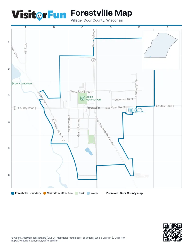
Street index of Forestville
Each street on the sheet and the grid squares it crosses.
- North Forestville AvenueC2, C3
- State Highway 42C2
- Hillcrest StreetE2
- Hucek AvenueE2, E3
- County Road JB3, E3
- Leege AvenueB3
- West AvenueB3, B4
- West Main StreetB3, C3
- West Park StreetB3, C3
- East Main StreetC3, D3, E3
- East Park StreetC3, D3, E3
- Grand AvenueC3, C5
- Miller AvenueC3, C4, B5, C5
- Pagel AvenueC3
- Schmitz DriveC3
- South Forestville AvenueC3, C4, D4, D5, E6
- South Grand AvenueC3
- Krueger AvenueD3
- Lucerne StreetD3, E3
- Delorit DriveE3
- Pleasant View StreetE3
- Cedar StreetC4
- Commercial StreetC4, D4
- Gaede RoadC4, C5, C6
- Leo AvenueC4, C5
- Buena VistaC5
Places on the map
- Country Ovens Ltd
- Forestville
- Legion Memorial Park
- St. Peter's Lutheran Cemetery
© OpenStreetMap contributors (ODbL) · Map data: Protomaps · Boundary: Who's On First (CC-BY 4.0)