

Wisconsin map
Door County map
About 30,512 people live here (Census Bureau, 2024 estimate). Things to do inside the boundary: Cana Island Lighthouse. Also on it: Door County Cherryland Airport, Mud Lake Wildlife Area and Newport State Park.
Open the map (PDF, US Letter)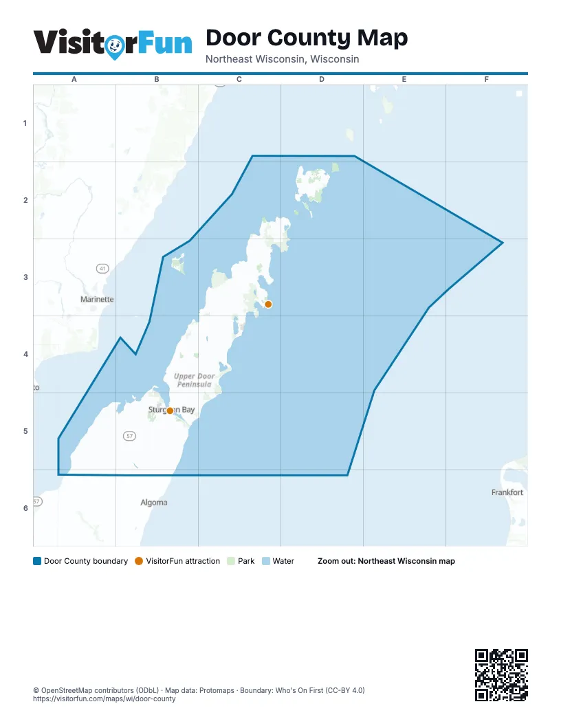
Maps inside Door County
21 maps inside, from the street map of Door County down.
City
Towns
Things to do on the Door County map
Places on the map
- Door County Cherryland Airport
- Mud Lake Wildlife Area
- Newport State Park
- Peninsula State Park
- Potawatomi State Park
- Shivering Sands Preserve
- The Ridges Sanctuary
- Whitefish Dunes State Park
- Wisconsin Islands Wilderness
Next to Door County
- Algoma
- Frankfort
- Marinette
© OpenStreetMap contributors (ODbL) · Map data: Protomaps · Boundary: Who's On First (CC-BY 4.0)