Sightseeing
Local GemScotts Bluff County
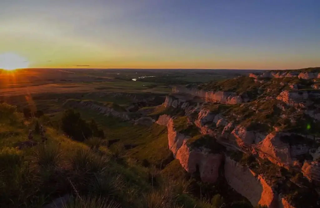
FreeNebraska Panhandle county anchored by Scotts Bluff National Monument, historic Oregon Trail landmarks and Wildcat Hills.
Scottsbluff, NE
Area guide · Wyoming, USA
Cowboy heritage and Oregon Trail landmarks along the Wyoming-Nebraska line
Start here
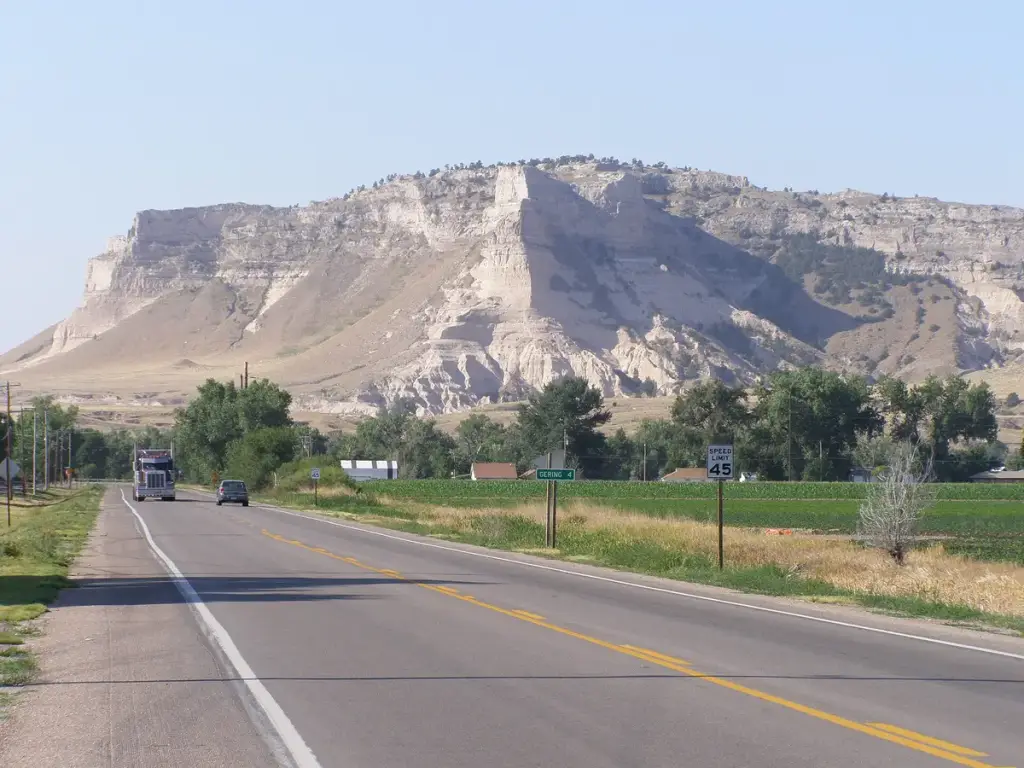
Nebraska Panhandle county anchored by Scotts Bluff National Monument, historic Oregon Trail landmarks and Wildcat Hills.
Scottsbluff, NE
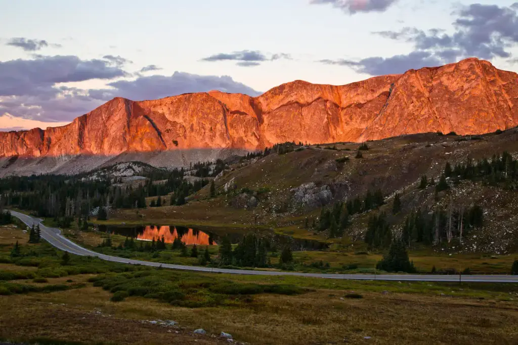
Southeast Wyoming college town at the base of the Snowy Range, gateway to Vedauwoo and Medicine Bow National Forest.
Laramie, WY
Museum of Old West and rodeo history featuring one of the country's largest horse-drawn vehicle collections.
Cheyenne, WY
Every place
Filter by the kind of day you want. Tap a card to open the place, or a dot on the map to find it in the list.
Nebraska Panhandle county anchored by Scotts Bluff National Monument, historic Oregon Trail landmarks and Wildcat Hills.
Southeast Wyoming college town at the base of the Snowy Range, gateway to Vedauwoo and Medicine Bow National Forest.
Museum of Old West and rodeo history featuring one of the country's largest horse-drawn vehicle collections.
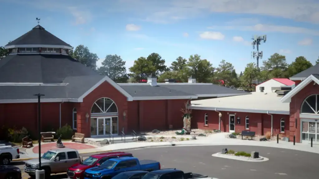
Visitor bureau for the Scottsbluff and Gering area of the Nebraska Panhandle, home to Scotts Bluff National Monument and Chimney Rock.
Free museum in downtown Cheyenne celebrating pioneering cowgirls, rodeo queens and Western women's history.
Cheyenne's official destination marketing organization, promoting Wyoming's capital city and its Western heritage attractions.
See the rock spire that guided Oregon Trail emigrants and tour the museum about their journey west.
Walk the parade ground of a fur trade post turned Army fort and step inside restored buildings like Old Bedlam.
A gold-domed 1880s capitol in downtown Cheyenne where you can take a self-guided tour of the restored chambers.
About
This cluster spans southeastern Wyoming and the western Nebraska Panhandle along the historic Oregon Trail corridor, centered on Cheyenne with Laramie to the west and Gering-Scottsbluff to the east. Cheyenne is the Wyoming state capital and home to the Cheyenne Frontier Days Old West Museum and the volunteer-run Cowgirls of the West Museum, both focused on regional ranching and rodeo history. Laramie, home to the University of Wyoming, sits about 50 miles west along Interstate 80. On the Nebraska side, Scotts Bluff National Monument's sandstone bluffs mark a landmark on the original wagon-trail route west.