

Arizona map
Mohave County map
About 226,479 people live here (Census Bureau, 2024 estimate). Things to do inside the boundary: Beach Shack Rentals, Grand Canyon Skywalk and Historic Route 66 Arizona. Also on it: Arrastra Mountain Wilderness, Grand Canyon-Parashant National Monument and Grand Wash Cliffs Wilderness.
Open the map (PDF, US Letter)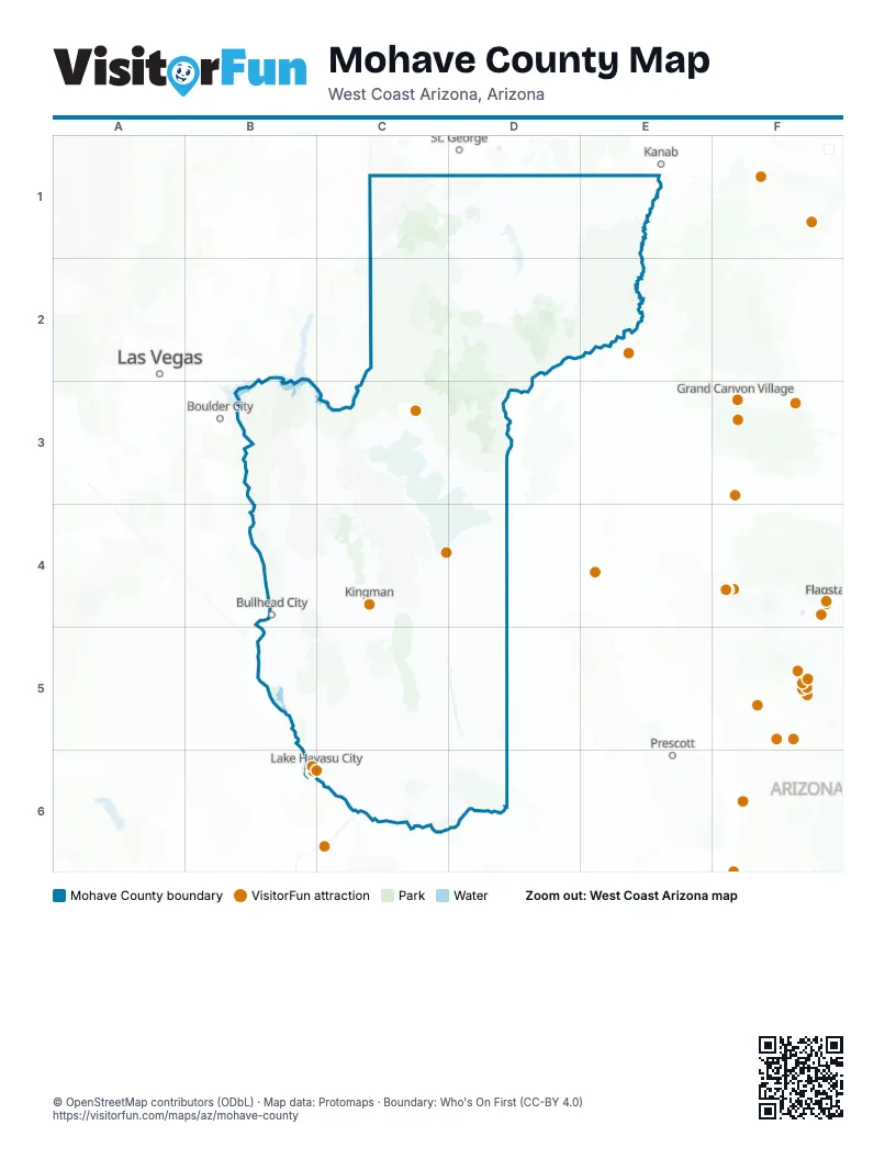
Things to do on the Mohave County map
Places on the map
- Arrastra Mountain Wilderness
- Grand Canyon-Parashant National Monument
- Grand Wash Cliffs Wilderness
- Havasu National Wildlife Refuge
- Mount Nutt Wilderness
- Mount Tipton Wilderness
- Paiute Wilderness
- Upper Burro Creek Wilderness
- Wabayuma Peak Wilderness
- Warm Springs Wilderness
Next to Mohave County
- Boulder City
- Flagstaff
- Grand Canyon Village
- Kanab
- Las Vegas
- Prescott
- St. George
© OpenStreetMap contributors (ODbL) · Map data: Protomaps · Boundary: Who's On First (CC-BY 4.0)