

California map
Santa Cruz County map
About 262,406 people live here (Census Bureau, 2024 estimate). The sheet's index lists Santa Cruz Highway and Cabrillo Highway. Things to do inside the boundary: Beach RV Pleasure Point, Capitola and Club Ed Surf School and Camps.
Open the map (PDF, US Letter)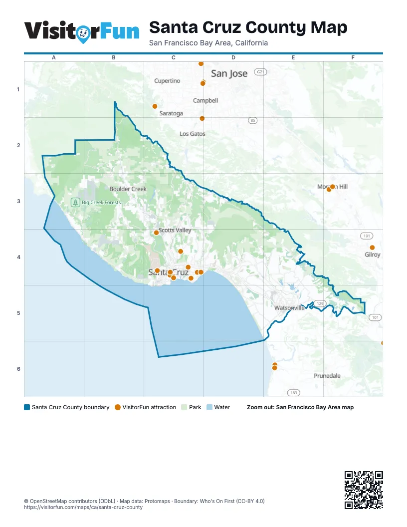
Street index of Santa Cruz County
Each street on the sheet and the grid squares it crosses.
- Santa Cruz HighwayC3, C4
- Cabrillo HighwayC4, D4, D5, E5
Things to do on the Santa Cruz County map
Places on the map
- Amesti
- Anna Jean Cummings Park
- Aptos
- Aptos Hills-Larkin Valley
- Aptos Seascape Golf Course
- Aptos Village Park
- Arana Gulch
- Arroyo Seco Canyon
- Banana Belt
- Big Basin Redwoods State Park
- Big Creek Forests
- Bird Streets
- Bluffs Beaches
- Boulder Creek
- Braemoor
- Byrne-Milliron Forest
- California Street
- Capitola
- Carbonera
- Castle Rock State Park
- Cave Gulch
- CityTeam Camp MayMac
- Coast Dairies State Park
- College Lake
- Corralitos
- Cotoni-Coast Dairies Unit, California Coastal National Monument
- Cowboy Loop Trail
- Davenport
- Day Valley
- Daybreak Camp
- DeLaveaga Golf Course
- DeLaveaga Park
- Downtown District (Commercial)
- Ellicott Slough National Wildlife Refuge
- Empire Acres
- Felton
- Felton Quarry
- Four Winds Ranch
- Freedom
- Gallighan Slough
Next to Santa Cruz County
- Campbell
- Cupertino
- Gilroy
- Los Gatos
- Morgan Hill
- Prunedale
- San Jose map
- Santa Clara
- Saratoga
© OpenStreetMap contributors (ODbL) · Map data: Protomaps · Boundary: Who's On First (CC-BY 4.0)