

Colorado map
Douglas County map
About 393,995 people live here (Census Bureau, 2024 estimate). The sheet's index lists 6 streets; South Gap Express Lane, C-470 and E-470 cross the most grid squares. Things to do inside the boundary: Outlets At Castle Rock.
Open the map (PDF, US Letter)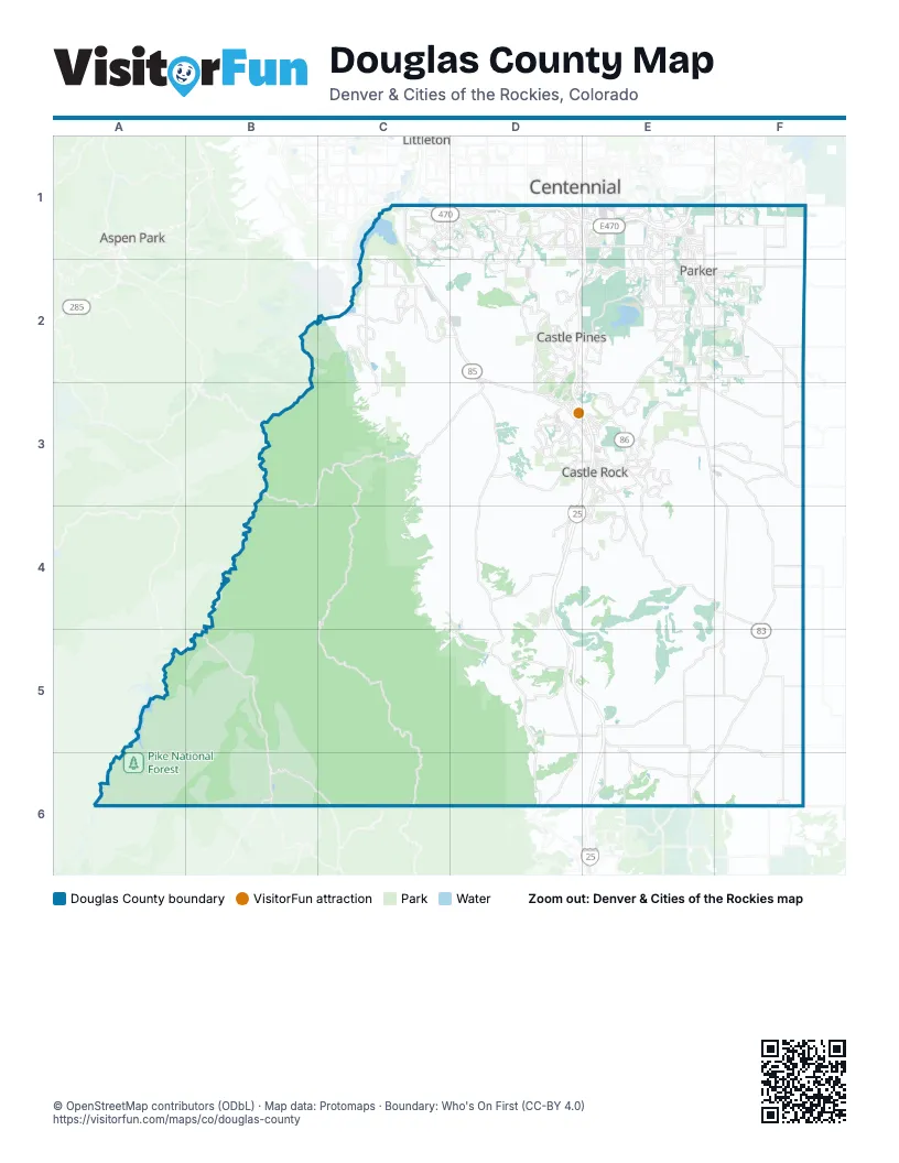
Street index of Douglas County
Each street on the sheet and the grid squares it crosses.
- C-470C1, D1
- E-470D1, E1
- South Valley HighwayD1
- Castle Rock ParkwayD3
- South Gap Express LaneD4, D5, E5, E6
- Ronald Reagan HighwayE6
Things to do on the Douglas County map
Places on the map
- Acres Green
- AdventHealth Parker Hospital
- Allison Ranch
- Anthology
- Arrowhead Golf Club
- Aurora Rampart Reservoir
- BackCountry
- Bayou Gulch Open Space
- Bayou Gulch Regional Park
- Bell Cross Circle
- Big Lift Terminal
- Black Bear Golf Club
- Bluffs Regional Park
- Bradbury Ranch
- Butterfield
- Carriage Club
- Castle Park Ranch
- Castle Pines
- Castle Pines Golf Club
- Castle Rock
- Castlerock Rock Inc.
- Castlewood Canyon State Park
- Centennial Ranch
- Centerstone Terrace
- Challenger Park
- Chatfield Campground
- Chatfield Estates
- Chatfield Farms West
- Cheese Ranch Historic Park
- Cheesman Lake
- Cherry Creek Highland
- Chuck's Loop Trail
- CODE 303
- Colorado Golf Club
- Colorado Horse Park
- Colorado Renaissance Festival
- Columbine Open Space
- Compark Business Park
- Cook Creek Regional Trail
- Cottonwood
Next to Douglas County
- Aspen Park
- Centennial
- Littleton
© OpenStreetMap contributors (ODbL) · Map data: Protomaps · Boundary: Who's On First (CC-BY 4.0)