

Florida map
Leon County map
About 300,488 people live here (Census Bureau, 2024 estimate). Also on it: Apalachee Regional Park, Apalachee Ridge Estates and Augustine Hills. 2 smaller maps sit inside it.
Open the map (PDF, US Letter)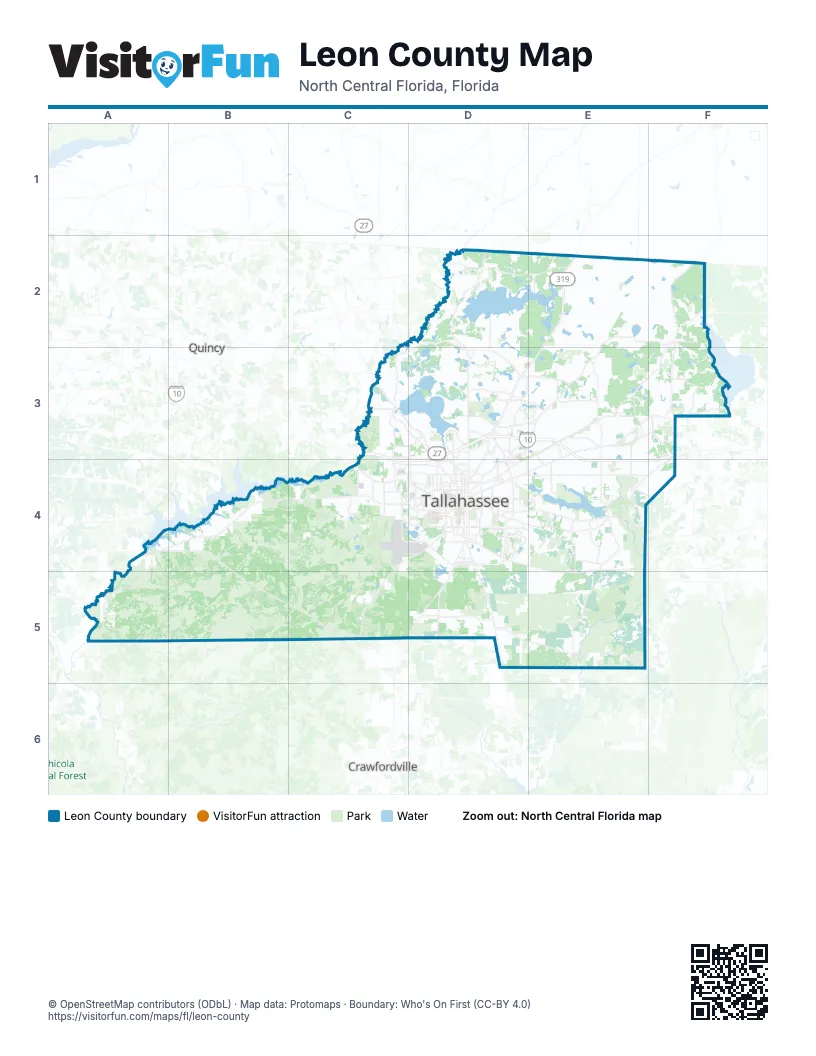
Places on the map
- Apalachee Regional Park
- Apalachee Ridge Estates
- Augustine Hills
- Black Swamp
- Box Wood Estates
- Capital Circle Office Center
- Capital City Country Club
- Carr Lake
- Cascade Lake
- Central Park Lake
- Edinburgh Estates
- Elinor Klapp-Phipps Park
- Emerald Acres
- Ferguson Pond
- Fort Braden Trails
- Fred George Greenway and Park
- Golden Eagle Golf Course
- Gum Swamp
- Huntington Oaks
- J. R. Alford Greenway
- Killearn Country Club & Inn
- Lafayette Heritage Trail Park
- Lake Bradford/Cascade Lake
- Lake Hall
- Lake Henrietta Park
- Lake Iamonia
- Lake Jackson
- Lake Lafayette
- Lake McBride
- Lake Munson
- Lake Overstreet
- Lake Pisgah Drive
- Lake Talquin State Park
- Leon County
- Lower Dianne Lake
- Meadow Ridge Drive
- Miccosukee Canopy Road Greenway
- Natural Wells
- Oak Hammock
- Ochlockonee River WMA
Next to Leon County
- Crawfordville
- Quincy
© OpenStreetMap contributors (ODbL) · Map data: Protomaps · Boundary: Who's On First (CC-BY 4.0)