

Florida map
St. Johns County map
About 334,928 people live here (Census Bureau, 2024 estimate). The sheet's index lists Nocatee Parkway. Things to do inside the boundary: Castillo de San Marcos National Monument, St. Augustine Visitor Information Center and St. George Street.
Open the map (PDF, US Letter)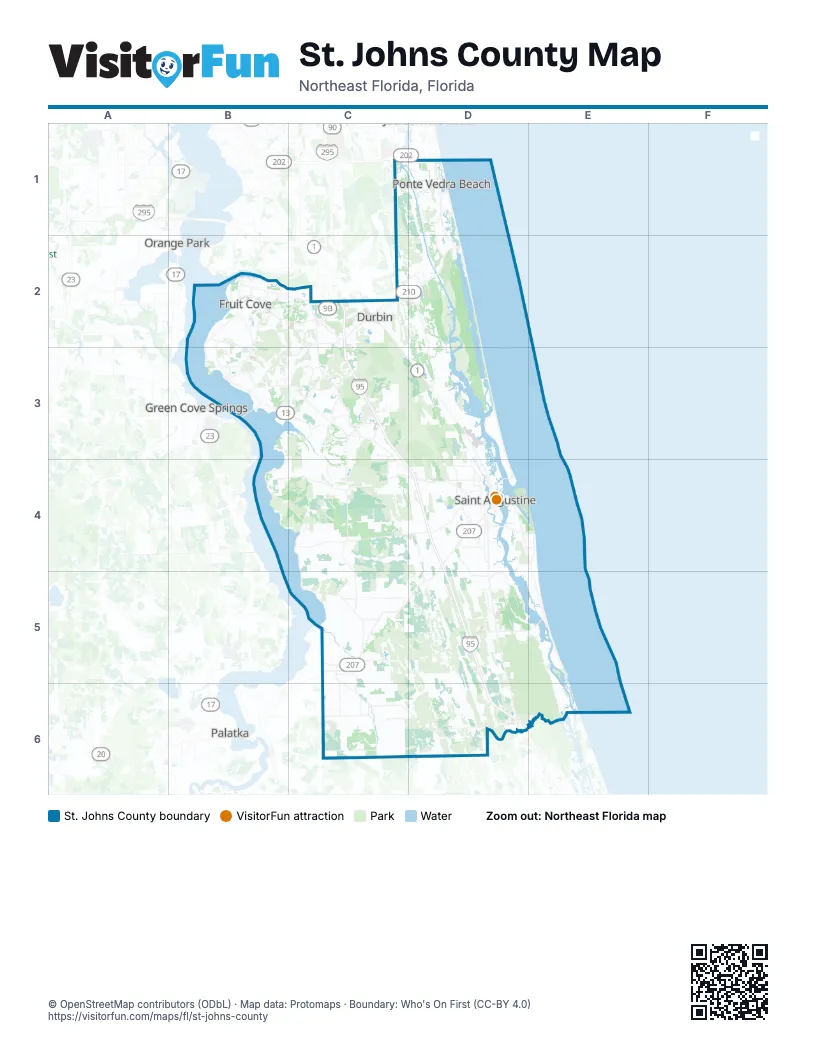
Street index of St. Johns County
Each street on the sheet and the grid squares it crosses.
- Nocatee ParkwayC2, D2
Things to do on the St. Johns County map
Places on the map
- Aberdeen
- Anastasia State Park
- Andalusia
- Arbor Mill at Mill Creek
- Austin Park
- Bartram Plantation
- Bartram Ranch
- Beachwalk Saint Johns County
- Bowen Branch
- Butler Beach
- Cascades World Golf Village
- Celestina
- Cimarrone
- Cimarrone Golf Club
- Crescent Beach
- Crescent Key
- Cunningham Creek Estates
- Davis Park
- Daybeacon Marsh
- De Leon Shores
- Durbin Creek Swamp
- Durbin Estates
- Durbin Parke
- East Wood
- Edgewater
- Fairfield
- Faver-Dykes State Park
- Freedom Landing at Crosswater
- Fruit Cove
- Fruit Cove Woods
- Glen Saint Johns
- Gourd Island Conservation Area
- Grand Oaks
- Greenbriar
- Greenleaf Village
- Greenridge
- Guana River Wildlife Management Area
- Heritage Oaks
- Heritage Trace at Crosswater
- Holly Forest
Next to St. Johns County
- Green Cove Springs
- Orange Park
- Palatka
© OpenStreetMap contributors (ODbL) · Map data: Protomaps · Boundary: Who's On First (CC-BY 4.0)