

Kansas map
Southeast Kansas map
The sheet's index lists 20 highways; US 69, US 54 and US 400 cross the most grid squares. Things to do inside the boundary: Fort Scott National Historic Site, Marais des Cygnes Massacre Site and National Teachers Hall of Fame. Also on it: Arma, Baxter Springs and Burlington.
Open the map (PDF, US Letter)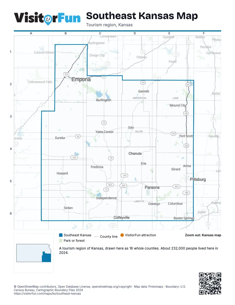
Highway index of Southeast Kansas
Each highway on the sheet and the grid squares it crosses.
- I-35B2, C2
- I-335B1, B2, C1
- US 50B2, C2
- US 54A4, B4, C3, C4, D3, E3, E4, F4
- US 59D2
- US 69E2, E3, E4, E5, E6, F2, F3, F4, F6
- US 75C2, C3, C4, C5, C6
- US 160C6, E5, F6
- US 166C6, F6
- US 169C6, D2, D3, D4, D5, E2
- US 400A4, B4, C4, C5, D5, E5, E6, F6
- KS 3E3, E4
- KS 31D2
- KS 39C4
- KS 52E2, F2, F3
- KS 58C3
- KS 66E6
- KS 99B4
- KS 171E5, F5
- MO 171F5
Things to do on the Southeast Kansas map
Places on the map
- Arma
- Baxter Springs
- Burlington
- Chanute
- Coffeyville
- Columbus
- Emporia
- Erie
- Eureka
- Fort Scott
- Fredonia
- Garnett
- Girard
- Howard
- Independence
- Iola
- Mound City
- Oswego
- Parsons
- Pittsburg
- Sedan
- Yates Center
Next to Southeast Kansas
- North Central Kansas map
- Northeast Kansas map
- South Central Kansas map
- Southwest Missouri
- Green Country
© OpenStreetMap contributors, Open Database License, openstreetmap.org/copyright · Map data: Protomaps · Boundary: U.S. Census Bureau, Cartographic Boundary Files 2024