

Kentucky map
Eastern Highlands-North map
The sheet's index lists 27 highways; US 23, I-64 and US 460 cross the most grid squares. Things to do inside the boundary: Ashland Town Center, Carter Caves State Resort Park and Red River Gorge. Also on it: Ashland, Elkhorn City and Flatwoods.
Open the map (PDF, US Letter)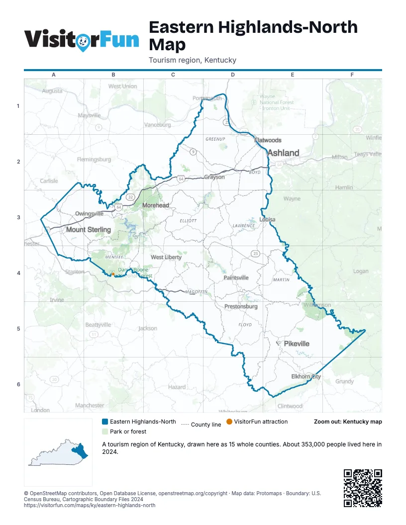
Highway index of Eastern Highlands-North
Each highway on the sheet and the grid squares it crosses.
- I-64A3, B2, B3, C2, D2, E2
- US 23D1, D2, D3, D4, D5, E2, E3, E5, E6
- US 52D2, E4, E5
- US 60B3, D2, E2
- US 119E4, E5, E6
- US 460C4, D4, D5, E5, E6, F6
- KY 1D2
- KY 7C2, C4, D2
- KY 8D1
- KY 9C2, D2
- KY 10D1
- KY 32B3
- KY 40D4
- KY 67D1, D2
- KY 80D5, E5, E6
- KY 114D4, D5
- KY 122D5
- KY 205C4
- KY 292E5
- VA 460E6
- KY 519B3, C3, C4
- KY 680D5, E5
- KY 777D5
- KY 1081C4
- KY 1100D4
- KY 1373E6
- KY 1426E5
Things to do on the Eastern Highlands-North map
Places on the map
- Ashland
- Elkhorn City
- Flatwoods
- Grayson
- Louisa
- Morehead
- Mount Sterling
- Owingsville
- Paintsville
- Pikeville
- Prestonsburg
- West Liberty
Next to Eastern Highlands-North
- Bluegrass map
- Eastern Highlands-South map
- Northern Kentucky map
- Southeast Ohio
- Southwest Virginia - Heart of Appalachia
- Hatfield-McCoy Mountains
© OpenStreetMap contributors, Open Database License, openstreetmap.org/copyright · Map data: Protomaps · Boundary: U.S. Census Bureau, Cartographic Boundary Files 2024