

Kentucky map
Northern Kentucky map
The sheet's index lists 22 highways; I-75, KY 9 and I-71 cross the most grid squares. Things to do inside the boundary: Ark Encounter, Big Bone Lick State Park and Creation Museum. Also on it: Augusta, Carrollton and Covington.
Open the map (PDF, US Letter)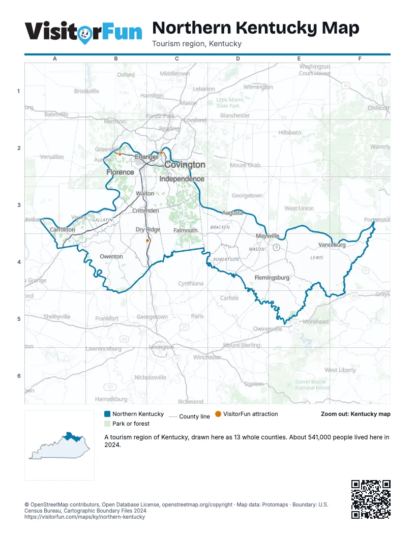
Highway index of Northern Kentucky
Each highway on the sheet and the grid squares it crosses.
- I-71A3, A4, B2, B3, C2
- I-75B2, B3, B4, C2, C3, C4
- I-275B2, C2
- I-471C2
- US 27C2
- US 52E4
- US 68D3, D4
- US 127B3, B4
- KY 8C2
- KY 9C2, C3, D3, D4, E4, F4
- KY 10D4, E4, F4
- KY 11D4, E4
- KY 22B4
- KY 32E4, E5
- KY 36B4
- KY 57E4
- KY 165D4
- KY 227B4
- KY 1013E5
- KY 1149F4
- KY 1234E4
- KY 1448D4, E4
Things to do on the Northern Kentucky map
Places on the map
- Augusta
- Carrollton
- Covington
- Crittenden
- Dry Ridge
- Erlanger
- Falmouth
- Flemingsburg
- Florence
- Independence
- Maysville
- Owenton
- Vanceburg
- Walton
Next to Northern Kentucky
- Southeast Indiana
- Bluegrass map
- Eastern Highlands-North map
- Louisville-Lincoln map
- Southeast Ohio
- Southwest Ohio
© OpenStreetMap contributors, Open Database License, openstreetmap.org/copyright · Map data: Protomaps · Boundary: U.S. Census Bureau, Cartographic Boundary Files 2024