

Maine map
Hancock County map
About 56,946 people live here (Census Bureau, 2024 estimate). Things to do inside the boundary: Acadia National Park, Bass Harbor Head Light Station and Cadillac Mountain. Also on it: Amherst Mountains Community Forest, Bangor Water Supply Lands and Bradley-Sunkhaze Preserve.
Open the map (PDF, US Letter)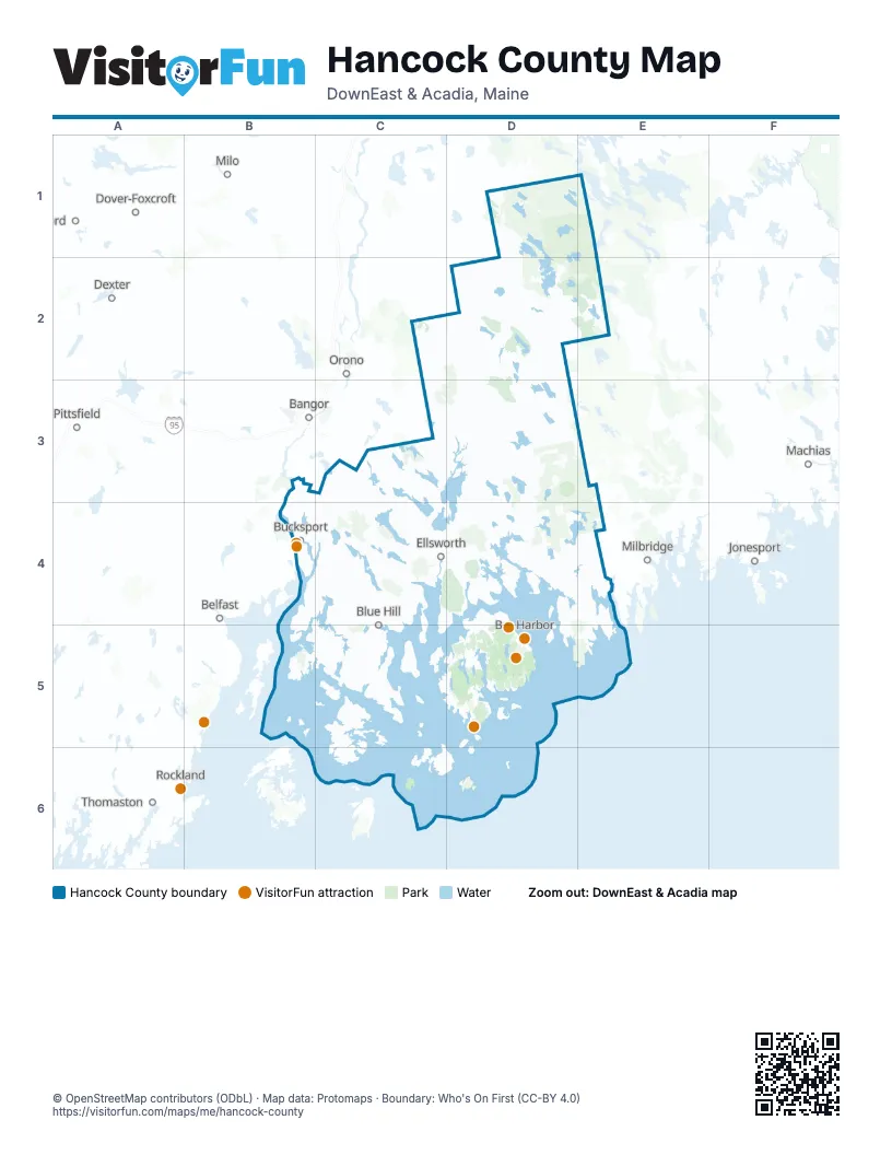
Maps inside Hancock County
1 map inside, from the street map of Hancock County down.
Things to do on the Hancock County map
Places on the map
- Acadia National Park
- Amherst Mountains Community Forest
- Bangor Water Supply Lands
- Bradley-Sunkhaze Preserve
- Branch Lake
- Donnell Pond Public Reserved Land
- Duck Lake Public Reserved Land
- Forbes Pond Preserve
- Frenchboro Preserve
- Frenchman Bay Community Forest
- Meadowbrook Forest
- Schoodic Forest
- Spring River - Narraguagus Forest Preserve
- Surry Forest
- Swans Island Lobster Conservation Area
Next to Hancock County
- Bangor
- Belfast
- Dexter
- Dover-Foxcroft
- Guilford
- Jonesport
- Machias
- Milbridge
- Milo
- Orono
- Pittsfield
- Rockland
- Searsport
- Thomaston
- Veazie
- Waldoboro
- Winterport
© OpenStreetMap contributors (ODbL) · Map data: Protomaps · Boundary: Who's On First (CC-BY 4.0)