

North Carolina map
Buncombe County map
About 279,210 people live here (Census Bureau, 2024 estimate). The sheet's index lists 5 streets; Andrew Jackson Highway, Billy Graham Freeway and Patton Avenue cross the most grid squares. Things to do inside the boundary: Biltmore Estate and Blue Ridge Parkway.
Open the map (PDF, US Letter)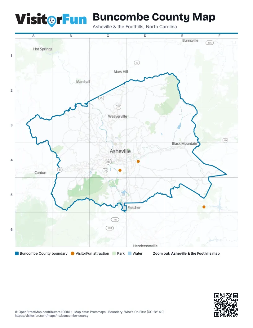
Street index of Buncombe County
Each street on the sheet and the grid squares it crosses.
- Andrew Jackson HighwayB4, C4, C5
- Billy Graham FreewayC4, D4
- Patton AvenueC4
- Woodfin PlaceC4
- Charlotte HighwayD4
Things to do on the Buncombe County map
Places on the map
- American Enka Company Site
- Asheville
- Asheville Power Plant
- Asheville Regional Airport
- Asheville Watershed
- Avery Creek
- Bee Tree Reservoir
- Bent Creek
- Biltmore Forest
- Biltmore Forest Country Club
- Black Mountain
- Black Mountain Golf Course
- Buncombe County
- Buncombe County Landfill
- Country Club of Asheville
- Enka Lake
- Enka Quarry
- Fairview
- French Broad
- Knoll Ridge
- Lake Julian
- Long Valley Lake
- Montreat
- North Buncombe Quarry
- North Fork Reservoir
- Pisgah View State Park
- Reems Creek Golf Club
- Richmond Hill Park
- Ridgefield
- Royal Pines
- Sandy Mush Community
- Swannanoa
- Weaverville
- WNC Agricultural Center
- WNC Outdoor Collective
- Woodfin
Next to Buncombe County
- Burnsville
- Canton
- Fletcher
- Hendersonville
- Hot Springs
- Mars Hill
- Marshall
© OpenStreetMap contributors (ODbL) · Map data: Protomaps · Boundary: Who's On First (CC-BY 4.0)