

New Mexico road map
New Mexico highway map
3 Interstate routes run about 989 miles in New Mexico, each on a sheet of its own. The sheet's index lists 13 highways; I-25, I-40 and US 66 cross the most grid squares. Towns on it: Albuquerque, Las Cruces and Rio Rancho.
Open the map (PDF, US Letter)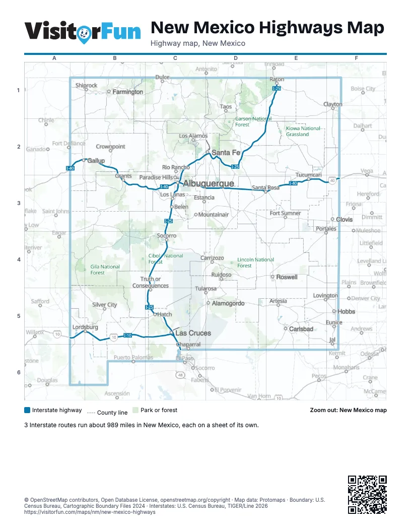
Road maps of New Mexico
10 road maps: each Interstate and byway on a sheet of its own.
Highway index of New Mexico
Each highway on the sheet and the grid squares it crosses.
- I-10A5, B5, C5, C6
- I-25C2, C3, C4, C5, D2, E1, E2
- I-40A2, B2, B3, C3, D3, E3, F3
- US 60C3, C4
- US 64E1
- US 66B2, C3, D3, E3, F3
- US 70C5
- US 84D2
- US 85C6
- US 180C6
- US 285D2
- NM 423C3
- NM 599D2
Places on the map
- Alamogordo
- Albuquerque
- Artesia
- Belen
- Carlsbad
- Carrizozo
- Chaparral
- Clayton
- Clovis
- Crownpoint
- Dulce
- Estancia
- Eunice
- Farmington
- Fort Sumner
- Gallup
- Grants
- Hatch
- Hobbs
- Jal
- Las Cruces
- Lordsburg
- Los Alamos
- Los Lunas
- Lovington
- Mountainair
- Paradise Hills
- Portales
- Raton
- Rio Rancho
- Roswell
- Ruidoso
- Santa Fe
- Santa Rosa
- Shiprock
- Silver City
- Socorro
- Taos
- Truth or Consequences
- Tucumcari
- Tularosa
© OpenStreetMap contributors, Open Database License, openstreetmap.org/copyright · Map data: Protomaps · Boundary: U.S. Census Bureau, Cartographic Boundary Files 2024 · Interstates: U.S. Census Bureau, TIGER/Line 2026