

New York map
First Ward map
A printable two-page map of First Ward (Buffalo, New York), drawn by VisitorFun from OpenStreetMap. Page two is the street index: every street on the sheet with its grid square, the same list as below.
Open the map (PDF, US Letter)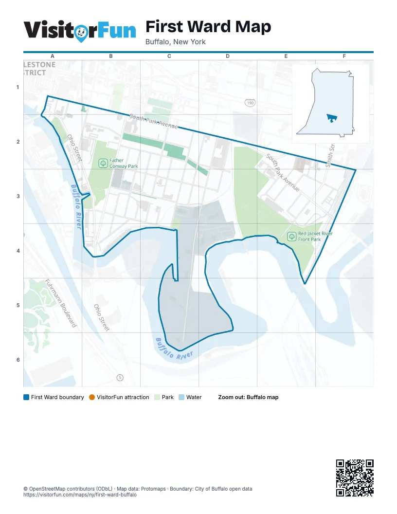
Street index of First Ward
Each street on the sheet and the grid squares it crosses.
- 175 Ohio St DrivewayA1, A2
- Marvin StreetA1
- Michigan AvenueA1
- Ohio StreetA1, A2, B3, B4
- South Michigan AvenueA1
- South Michigan Avenue Lift BridgeA1
- Chicago StreetA2
- Mackinaw StreetA2, B2, C2, D3
- Moore StreetA2
- Kentucky StreetB2, B3, B4
- Louisiana StreetB2, B4
- Miami StreetB2, C2
- O'Connell AvenueB2, C3, D3
- South Park AvenueB2, C2, D2, E2, E3, F3
- Hamburg StreetC2, C3, C4
- Hayward StreetC2
- Tennessee StreetC2, B3
- Vandalia StreetC2, C3, C4
- Vincennes StreetC2, B3, C3
- Fitzgerald StreetD2, D3
- Katherine StreetD2, D3, C4, C5, C6
- Red Jacket StreetD2
- Sidway StreetD2, C3
- Van Rensselaer StreetD2
- Elk StreetE2, F2
- Euclid PlaceE2, E3
- Leddy StreetE2, E3
- Republic StreetB3, C3
- South StreetB3, C4
- St Clair StreetB3, B4
- Alabama StreetC3
- Bolton PlaceE3
- Buffalo River PlaceE3
- Harvey PlaceE3
- Prenatt StreetE3, F3
- Smith StreetE3, F3, E4
- St Stephens PlaceE3
- Owahn PlaceF3
Places on the map
- Barcalo Living & Commerce
- Buffalo RiverFest Park
- Buffalo Scholastic Rowing Association
- Father Conway Park
- Mutual Park
- Our Lady of Perpetual Help Catholic Church
- Public School 33
- Red Jacket River Front Park
- Redmond Park
- Resurgence Brewing Company
- Tewksbury Lodge
Next to First Ward
- Cobblestone District
© OpenStreetMap contributors (ODbL) · Map data: Protomaps · Boundary: City of Buffalo open data