

New York map
Erie County map
A printable two-page map of Erie County (Greater Niagara, New York), drawn by VisitorFun from OpenStreetMap. Page two is the street index: every street on the sheet with its grid square, the same list as below.
Open the map (PDF, US Letter)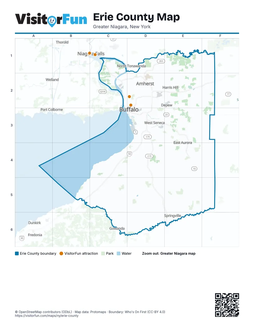
Street index of Erie County
Each street on the sheet and the grid squares it crosses.
- Niagara ThruwayC1, C2, D3
- North Grand Island BridgeC1
- South Grand Island BridgeC2
- Youngmann ExpresswayC2, D2
- Kensington ExpresswayD2
- New York State ThruwayD2, E2, F2, D3, C4, D4, B5, C5
- Aurora ExpresswayD3, E3, E4
- Buffalo SkywayD3
- US Highway 219D4
Things to do on the Erie County map
Places on the map
- 18 Mile Creek Golf Course
- ADESA Buffalo
- Akron Falls Park
- Amherst Audubon Golf Course
- Amherst Commerce Park
- Amherst State Park
- Angola on the Lake
- Arrowhead Golf Club
- Audubon
- Bassett
- Beeman Creek County Park
- Billington Heights
- Birdsong
- Bison Yard
- Boston County Forest Park
- Briarhurst
- Brighton Park
- Buckhorn Island State Park
- Buffalo Lakeside Commerce Park
- Buffalo Niagara Medical Campus
- Buffalo Ski Club
- Buffalo Tournament Club
- Buffalo-Niagara International Airport
- Camp Seven Hills
- Catherine
- Cayuga Creek
- Cazenovia Park
- Centennial Park
- Cheektowaga
- Cheektowaga Quarry
- Cheektowaga Town Park
- Cherry Farm
- Chestnut Ridge Park
- City of Lackawanna
- City of Tonawanda
- City Ship Canal
- Clarence
- Clarence Center
- Clear Lake
- Clearfield
Maps inside Erie County
Next to Erie County
- Dunkirk
- Fredonia
- Gowanda
- Niagara Falls map
- North Tonawanda
- Port Colborne
- Thorold
- Welland
© OpenStreetMap contributors (ODbL) · Map data: Protomaps · Boundary: Who's On First (CC-BY 4.0)