

Pennsylvania map
Cumberland County map
About 275,516 people live here (Census Bureau, 2024 estimate). The sheet's index lists 4 streets; Pennsylvania Turnpike, American Ex-Prisoners of War Memorial Highway and American Legion Memorial Highway cross the most grid squares. Things to do inside the boundary: Antique Marketplace of Lemoyne, Carlisle Sports Emporium and Cumberland Valley.
Open the map (PDF, US Letter)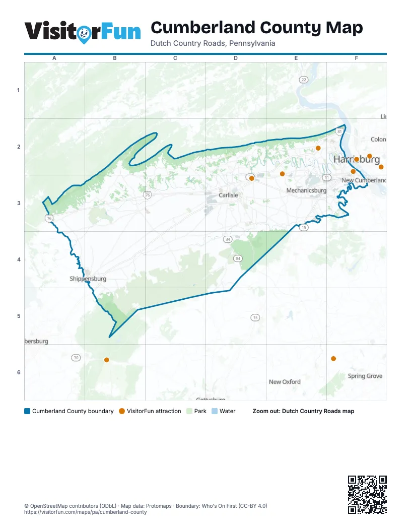
Street index of Cumberland County
Each street on the sheet and the grid squares it crosses.
- American Ex-Prisoners of War Memorial HighwayE2, F2, E3, F3
- American Legion Memorial HighwayE2, F2
- George N. Wade Memorial BridgeF2
- Pennsylvania TurnpikeA3, B3, C3, D3, E3, F3
Things to do on the Cumberland County map
Places on the map
- Adams-Ricci Community Park
- Bongiorno Conference Center
- Camp Hill
- Camp Hill Quarry
- Canterbury
- Capital City Mall
- Carlisle
- Carlisle Barracks
- Carlisle Barracks Golf Course
- Carlisle Country Club
- Carlisle Fairgrounds
- Colonel Denning State Park
- Cooke Township
- Creek Trail
- Cumberland County
- Cumberland County Landfill
- Cumberland Golf Club
- Cumberland Technology Park
- Dickinson Township
- Duffield Crossing
- Eagles Crossing Golf Club
- Earth Spring Farm
- East Pennsboro Township
- Enola
- Enola Rail Yard
- Fair Oaks
- FedEx
- Hampden Township
- Hopewell Township
- Huntsdale Fish Hatchery
- Keystone Arms
- Kings Gap Environmental Education Center
- Legacy Park
- Lemoyne
- Lindenwood
- Locust Point Quarry
- Lower Allen Community Park
- Lower Allen Township
- Lower Frankford Township
- Lower Mifflin Township
Next to Cumberland County
- Chambersburg
- Harrisburg
- New Oxford
- Progress
- Spring Grove
© OpenStreetMap contributors (ODbL) · Map data: Protomaps · Boundary: Who's On First (CC-BY 4.0)