

Pennsylvania map
Lackawanna County map
About 216,859 people live here (Census Bureau, 2024 estimate). The sheet's index lists 6 streets; Governor Robert P. Casey Highway, American Legion Memorial Highway and Pennsylvania Turnpike Northeast Extension cross the most grid squares. Also on it: Alliance Sanitary Landfill, Archbald and Archbald Heights Road.
Open the map (PDF, US Letter)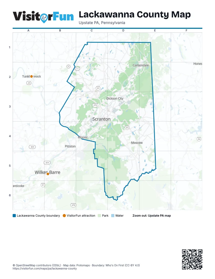
Street index of Lackawanna County
Each street on the sheet and the grid squares it crosses.
- Governor Robert P. Casey HighwayD2, E2, D3
- North Scranton ExpresswayC3
- Pennsylvania Turnpike Northeast ExtensionC3, C4
- President Biden ExpresswayC3, C4
- Scranton Carbondale HighwayC3
- American Legion Memorial HighwayD3, C4, D4
Places on the map
- Alliance Sanitary Landfill
- Archbald
- Archbald Heights Road
- Balsam Swamp
- Baylors Pond
- Bear Lake
- Bear Swamp
- Benton Township
- Big Bass Lake
- Blakely
- Brownell Reservoir
- Carbondale
- Carbondale Township
- Chapman Lake
- Clarks Green
- Clarks Summit
- Clarks Summit State Hospital
- Clifton Township
- Covington Township
- Crystal Lake
- Curtis Reservoir
- Dalton
- Dickson City
- Dunmore
- Eagle Lake Drive
- Ed Staback Regional Park
- Elkview Country Club
- Elmhurst Reservoir
- Elmhurst Township
- Eureka Stone Quarry
- Falling Springs Reservoir
- Fawnwood
- Fell Township
- Fords Lake
- Gardner Spencer Preserve
- Glen Oak Country Club
- Glenburn Township
- Glenmaura Corporate Center
- Glenmaura National Golf Club
- Gravel Pond
Next to Lackawanna County
- Honesdale
- Nanticoke
- Pittston
- Tunkhannock
- Wilkes-Barre
© OpenStreetMap contributors (ODbL) · Map data: Protomaps · Boundary: Who's On First (CC-BY 4.0)