

Texas map
Brazos County map
About 249,624 people live here (Census Bureau, 2024 estimate). The sheet's index lists North Earl Rudder Freeway and South Earl Rudder Freeway. Things to do inside the boundary: George Bush Presidential Library and Museum and Museum of the American GI.
Open the map (PDF, US Letter)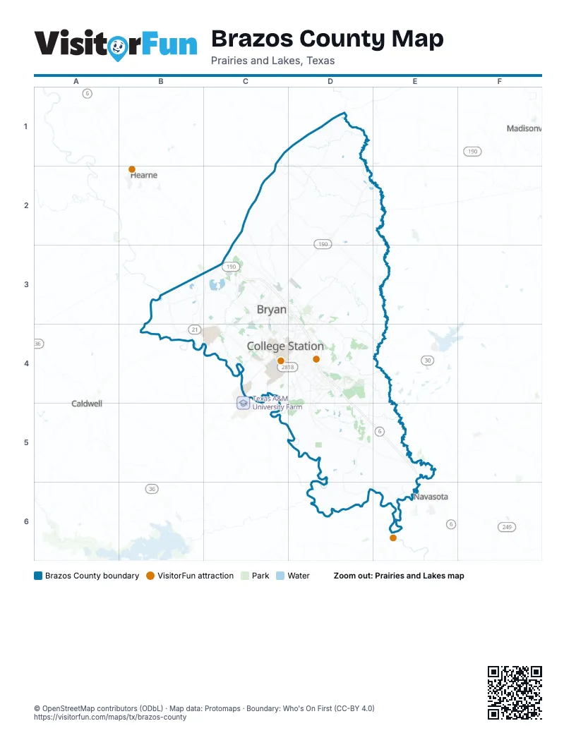
Street index of Brazos County
Each street on the sheet and the grid squares it crosses.
- North Earl Rudder FreewayC3, D3, D4
- South Earl Rudder FreewayD4
Things to do on the Brazos County map
Places on the map
- Axis Pipe & Tube
- Bee Creek
- Brandon Heights
- Brayton Fire Training Field
- Brazos County
- Brentwood
- Bryan
- Caprock Crossing
- Carter Lake
- Castlegate
- Castlegate II
- Clifty Creek Lake
- College Station
- Coulter Field
- Creek Meadows
- Creekridge Estates
- Dove Crossing
- Duck Haven
- Edelwiess
- Edelwiess Gartens
- Emerald Forest
- Foxfire
- Garrison Creek
- Henderson Park
- Hensel Park
- Indian Lakes
- Kurten
- Lake Bryan
- Lick Creek Park
- Midtown Reserve
- Miramont Country Club
- Mission Ranch
- Municipal Park
- Nantucket
- Oakmont
- Pebble Creek
- Pebble Creek Golf Course
- Post Oak Shopping Center
- Quail Run
- Raintree
Next to Brazos County
- Caldwell
- Hearne
- Madisonville
- Navasota
© OpenStreetMap contributors (ODbL) · Map data: Protomaps · Boundary: Who's On First (CC-BY 4.0)