

Texas map
Fort Bend County map
About 958,434 people live here (Census Bureau, 2024 estimate). The sheet's index lists 8 streets; Southwest Freeway, West Grand Parkway South and Fort Bend Parkway Toll Road cross the most grid squares. Things to do inside the boundary: Fort Bend Children's Discovery Center.
Open the map (PDF, US Letter)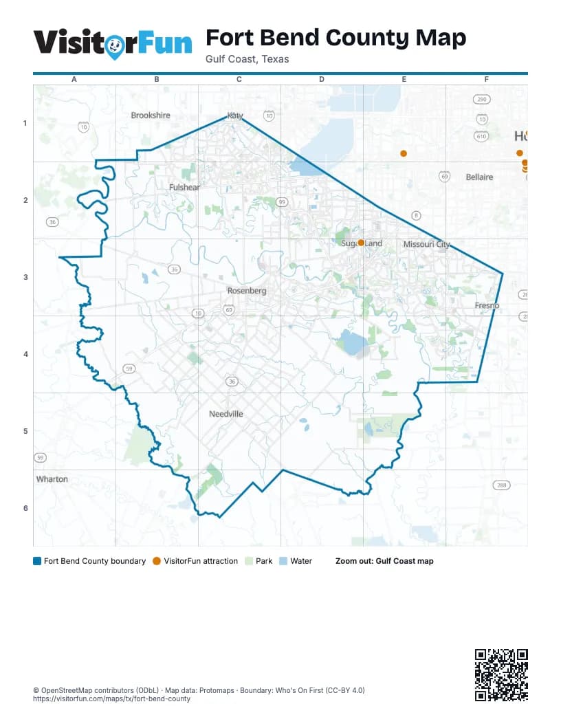
Street index of Fort Bend County
Each street on the sheet and the grid squares it crosses.
- Katy FreewayC1
- West Grand Parkway SouthC1, C2, D2, D3
- Fort Bend Westpark TollwayC2, D2
- Westpark TollwayC2
- Southwest FreewayE2, C3, D3, E3, C4
- US 59 (Southwest Freeway) HOV/HOT laneE2
- Fort Bend Parkway Toll RoadE3, F3, E4
- Fort Bend Toll RoadF3
Things to do on the Fort Bend County map
Places on the map
- Alkire Lake
- American Canal
- Arcola
- Ashford Lakes
- Austin Park
- Bates Allen Park
- Beasley
- Brooks Lake
- Candela South
- Canyon Gate at Cinco Ranch
- Cardiff Ranch
- Chimeystone
- Churchill Farms
- Cleveland Lake
- Colony Bend
- Colony Park
- Cottonwood
- Creekstone VIllage
- Creekwood Lake Trail - Long
- Cullinan Park
- Dalton Manor
- Del Webb Fulshear
- Eldridge Lake
- Elm Lake
- Fairchilds
- Falcon Ranch
- Figure Four Lake
- Flewellen Creek Park
- Fort Bend County
- Frost Lake
- Ft. Bend Regional Landfill
- Fulshear
- George Ranch Historical Park
- Grand Meadow
- Grand Mission
- Grand Vista Lakes
- Grayson Lakes
- Great Oaks
- Greatwood Golf Club
- Greatwood Lake
Next to Fort Bend County
- Bellaire
- Brookshire
- Wharton
© OpenStreetMap contributors (ODbL) · Map data: Protomaps · Boundary: Who's On First (CC-BY 4.0)