

Utah map
Weber County map
About 276,118 people live here (Census Bureau, 2024 estimate). The sheet's index lists Veterans Memorial Highway. Also on it: Anderson Cove Campground, Autoliv and Avalon Hills.
Open the map (PDF, US Letter)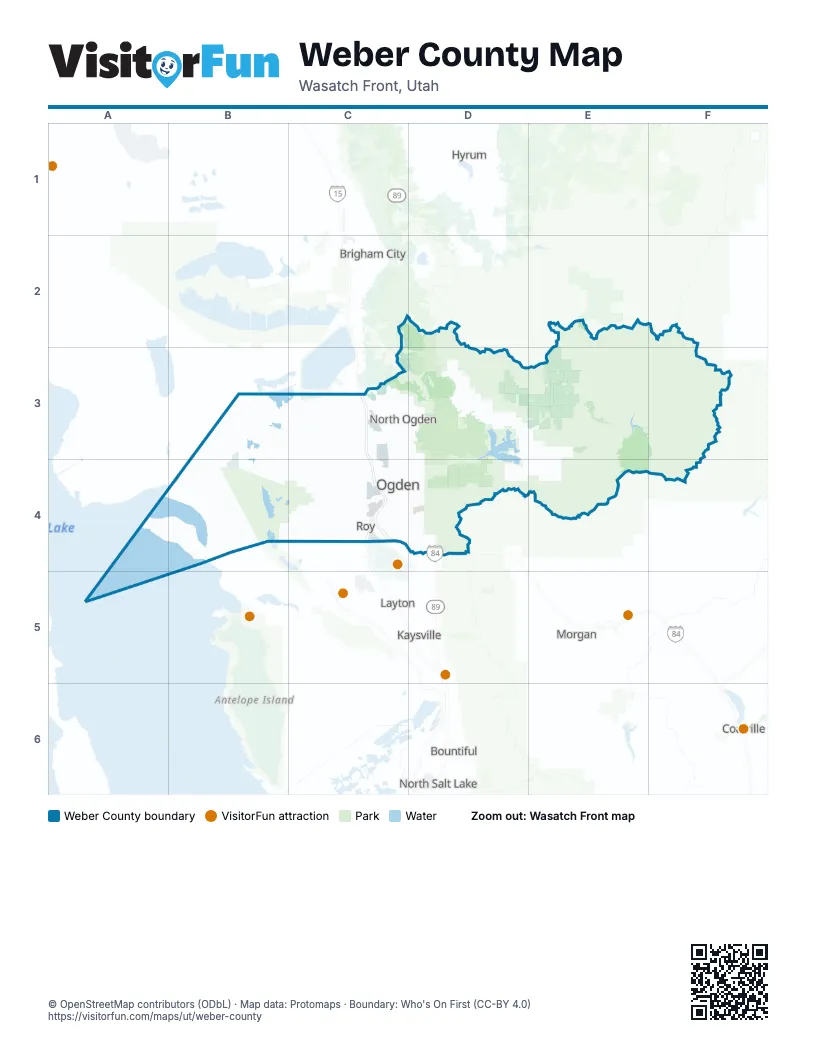
Street index of Weber County
Each street on the sheet and the grid squares it crosses.
- Veterans Memorial HighwayC3, C4
Places on the map
- Anderson Cove Campground
- Autoliv
- Avalon Hills
- Black Bird Ranch
- Business Depot Ogden
- Causey Reservoir
- Cemetery Point Beach
- Chalets at Ski Lake
- Compass Minerals
- Eagle Ridge
- Elkhorn
- Farr West
- Harrisville
- Haven Estates
- High Pine Circle
- Hooper
- Huntsville
- I-15 Construction site
- Jensen Fowers Farms
- Liberty
- Little Mountain Test Annex
- Live Oak Road
- Lomond Heights
- Loop A/B/Corrals Campground
- Marriott-Slaterville
- Mount Ogden Golf Course
- North Fork Park
- North Fork Weber River
- North Ogden
- North Ogden Cove
- Northview Estates
- Ogden
- Ogden Bay Wildlife Management Area
- Ogden Golf and Country Club
- Ogden Nature Center
- Ogden River
- Ogden Valley
- Osprey Ranch
- Patio Springs
- Pineview Reservoir
Next to Weber County
- Bountiful
- Brigham City
- Coalville
- Hyrum
- Kaysville
- Layton
- Morgan
- North Salt Lake
© OpenStreetMap contributors (ODbL) · Map data: Protomaps · Boundary: Who's On First (CC-BY 4.0)