

Vermont map
Upper Connecticut River Valley map
The sheet's index lists 8 highways; I-91, I-89 and VT 12 cross the most grid squares. Things to do inside the boundary: Allis State Park, American Precision Museum and Billings Farm & Museum. Also on it: Fairlee, Hartford and Norwich.
Open the map (PDF, US Letter)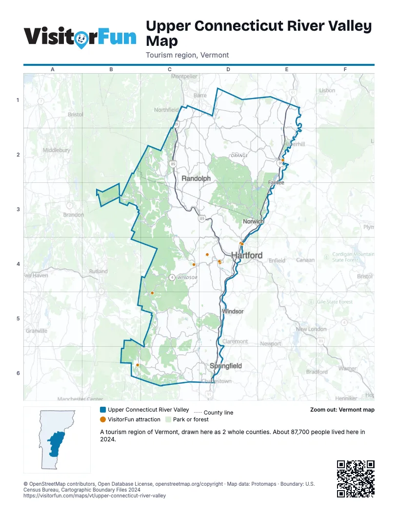
Highway index of Upper Connecticut River Valley
Each highway on the sheet and the grid squares it crosses.
- I-89C1, C2, C3, D3, D4
- I-91D3, D4, D5, D6, E1, E2, E3
- US 4C4, D4
- VT 11C6
- VT 12C4, D4, D5
- VT 100C4, C5
- VT 103C5, C6
- VT 131D5
Things to do on the Upper Connecticut River Valley map
- Allis State Park
- American Precision Museum
- Billings Farm & Museum
- Farm-Way
- King Arthur Baking Company
- Marsh-Billings-Rockefeller National Historical Park
- Montshire Museum of Science
- President Calvin Coolidge State Historic Site
- Quechee Gorge
- Sugarbush Farm
- Thetford Hill State Park
- Vermont Institute of Natural Science
- Weston Theater Company
Places on the map
- Fairlee
- Hartford
- Norwich
- Randolph
- Springfield
- Windsor
Next to Upper Connecticut River Valley
- Dartmouth-Lake Sunapee
- White Mountains
- Capital Region map
- Champlain Valley map
- Lower Connecticut River Valley map
- Northeast Kingdom map
- Stone Valley map
- The Shires map
© OpenStreetMap contributors, Open Database License, openstreetmap.org/copyright · Map data: Protomaps · Boundary: U.S. Census Bureau, Cartographic Boundary Files 2024