

California map
San Joaquin County map
About 816,108 people live here (Census Bureau, 2024 estimate). The sheet's index lists 6 streets; Golden State Highway, Westside Freeway and Crosstown Freeway cross the most grid squares. Things to do inside the boundary: Lodi.
Open the map (PDF, US Letter)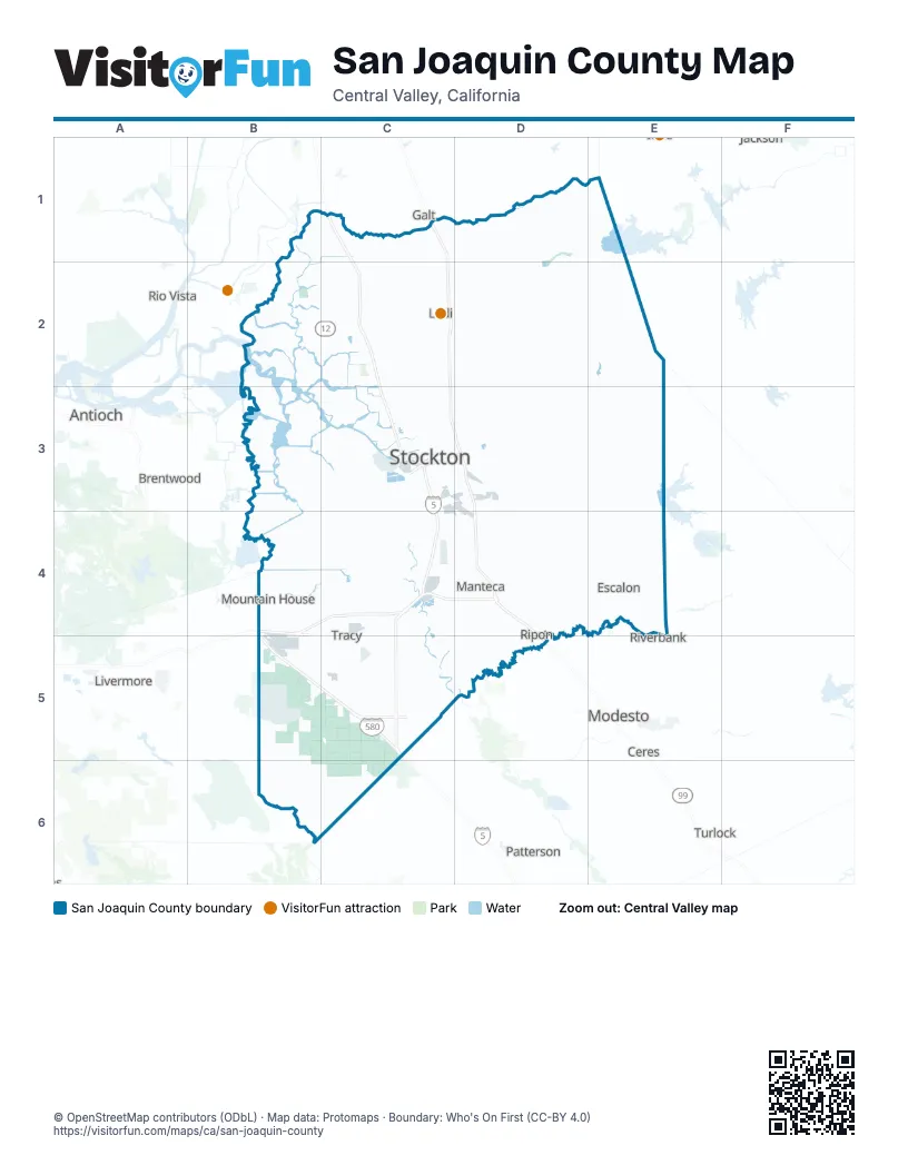
Maps inside San Joaquin County
1 map inside, from the street map of San Joaquin County down.
Street index of San Joaquin County
Each street on the sheet and the grid squares it crosses.
- Golden State HighwayC1, C2, C3, D3, D4, D5
- Westside FreewayC1, C2, C3, C4, C5
- Crosstown FreewayC3, D3
- Robert T. Monagan FreewayB4, C4
- William Elton Brown FreewayB5, C5
- Vernalis FreewayC5
Things to do on the San Joaquin County map
Places on the map
- Acampo
- Aggregate Tailings
- Atlas Tract
- August
- Brookside Country Club
- California Aqueduct
- Caswell Memorial State Park
- Collierville
- Corral Hollow Landfill
- Country Club
- Crossroads Commerce Center
- Delicato Family Vineyards
- Dogtown
- Escalon
- Farmington
- Foothill Sanitary Landfill
- French Camp
- Garden Acres
- Kennedy
- Lake Lincoln
- Lathrop
- Lathrop Gateway Business Park
- Lincoln Village
- Linden
- LLNL Site 300
- Lockeford
- Lodi
- Lodi Lake Park
- Manteca
- McLeod Lake
- Mokelumne River
- Morada
- Mosher Slough
- Mountain House
- Naval Communications Station Stockton
- Oakwood Lake
- Park West Place
- Peters
- Port of Stockton East Complex
- Quail Lake
Next to San Joaquin County
- Antioch
- Brentwood
- Ceres
- Discovery Bay
- Galt
- Jackson
- Livermore
- Modesto map
- Patterson
- Pleasanton
- Rio Vista
- Riverbank
- Turlock
© OpenStreetMap contributors (ODbL) · Map data: Protomaps · Boundary: Who's On First (CC-BY 4.0)