

Kansas map
Sedgwick County map
About 536,081 people live here (Census Bureau, 2024 estimate). The sheet's index lists 4 streets; Kansas Turnpike, Vietnam Veterans Memorial Highway and East 61st Street North cross the most grid squares. Things to do inside the boundary: Botanica, The Wichita Gardens, Exploration Place and Keeper of the Plains.
Open the map (PDF, US Letter)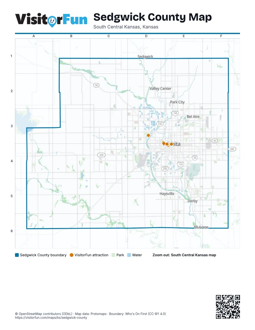
Maps inside Sedgwick County
1 map inside, from the street map of Sedgwick County down.
Street index of Sedgwick County
Each street on the sheet and the grid squares it crosses.
- East 61st Street NorthE2
- Kansas TurnpikeF3, E4, F4, E5, E6
- Vietnam Veterans Memorial HighwayA4, B4, D4, E4, F4
- West Kellogg DriveD4
Things to do on the Sedgwick County map
Places on the map
- Aberdeen
- Afton Township
- Alfred MacDonald Golf Course
- Amarado Estates
- Andale
- Area 151
- Arkansas River
- Auburn Hills Golf Course
- Audrey Matlock Heights
- Balthrop
- Barefoot Bay
- Beech Park
- Bel Aire
- Benjamin Hills
- Bentley
- Blue Lake
- BNSF Wichita Yard
- Bonnie Brae
- Bradford
- Brookhollow
- Brooks Landfill
- Callahan Addition
- Cedar Downs
- Cedar Lakes Village
- Cedar Ranch Estates
- Cessna Aircraft Airport
- Chadsworth
- Chapin Park
- Cheney
- Cherry Creek Hills
- Clearwater
- Colonial Park
- Colwich
- Cottonwood Village
- Country Acres
- Crestview Country Club
- Crestview Heights
- Derby
- Dr. Glen Dey Park
- Eastborough
Next to Sedgwick County
- Sedgwick
© OpenStreetMap contributors (ODbL) · Map data: Protomaps · Boundary: Who's On First (CC-BY 4.0)