

Maryland map
Frederick County map
About 299,317 people live here (Census Bureau, 2024 estimate). The sheet's index lists 7 streets; Eisenhower Memorial Highway, Jefferson National Pike and Korean War Veterans Memorial Highway cross the most grid squares. Things to do inside the boundary: Catoctin Mountain Park, Heart of the Civil War Heritage Area and National Shrine of Saint Elizabeth Ann Seton.
Open the map (PDF, US Letter)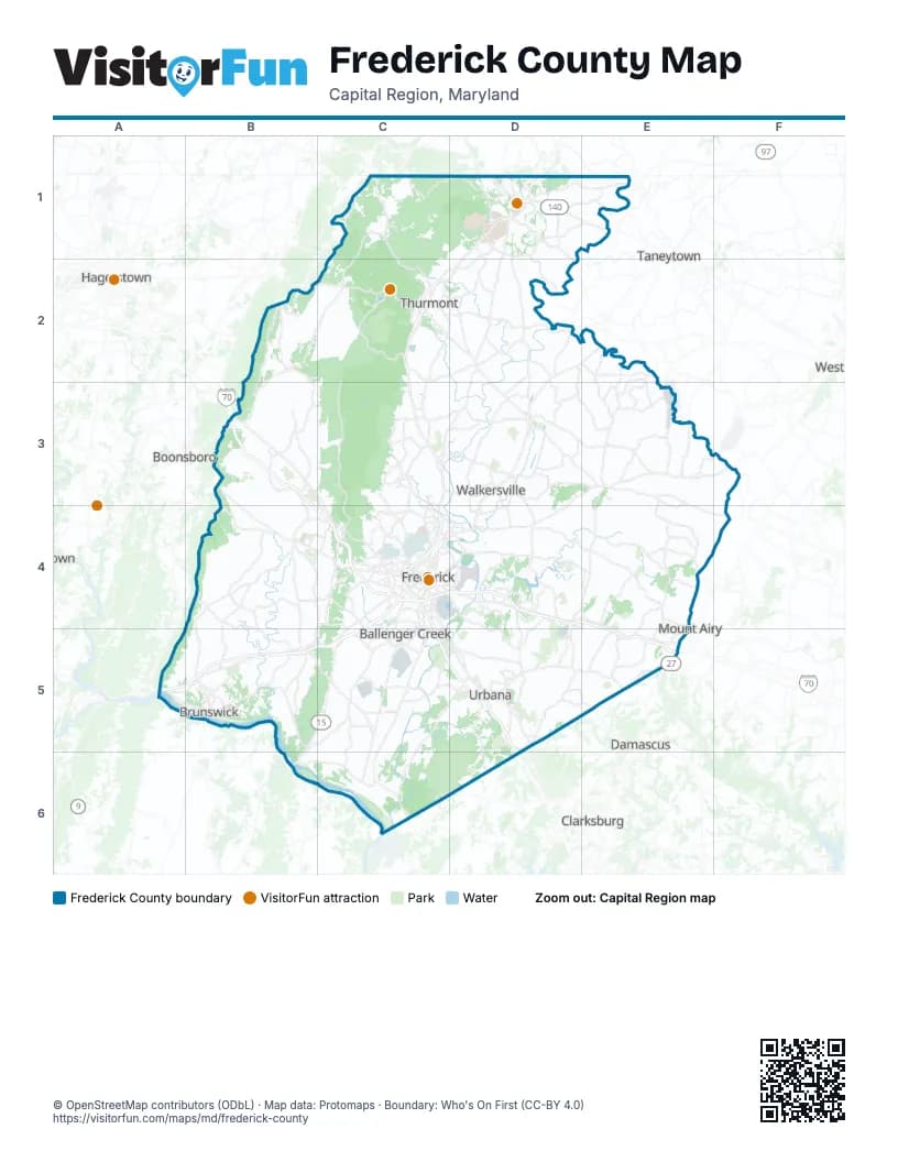
Street index of Frederick County
Each street on the sheet and the grid squares it crosses.
- Catoctin Mountain HighwayD1, C2, C4
- Dwight D Eisenhower HighwayB3, B4, C4
- Eisenhower Memorial HighwayC4, C5, D5, D6
- Frederick FreewayC4
- Jefferson National PikeC4, A5, B5, C5
- Korean War Veterans Memorial HighwayC4, D4, E4, E5
- Jefferson PikeA5
Things to do on the Frederick County map
Places on the map
- 75-80 Dragway
- Adamstown
- Amber Meadows
- Appalachian National Scenic Trail
- Audubon at Lake Linganore
- Baker Park
- Ballenger Creek
- Ballenger Creek Park
- Ballenger Crossing
- Ballenger Run
- Bartonsville
- Best Farm
- Braddock Heights
- Briercrest Heights
- Brookridge North
- Brunswick
- Buckeystown
- Burkittsville
- Cambridge Farms
- Camp Airy for Boys
- Carrollton
- Catoctin Creek
- Catoctin Mountain Park
- Catoctin Park
- City of Frederick Municipal Forest
- Clover Hill
- Clustered Spires Golf Course
- Coldstream at Lake Linganore
- CPAP Forest
- Cromwell
- Cunningham Falls State Park
- Dearbought
- Deerfield
- Discovery-Spring Garden
- E. Eugene Myers Community Park
- Eastalco
- EastChurch
- Emerald Farm
- Emmitsburg
- Emmitsburg Historic District
Next to Frederick County
- Boonsboro
- Clarksburg
- Damascus
- Hagerstown
- Halfway
- Mount Airy
- Taneytown
© OpenStreetMap contributors (ODbL) · Map data: Protomaps · Boundary: Who's On First (CC-BY 4.0)