

Mississippi map
Hinds County map
About 211,975 people live here (Census Bureau, 2024 estimate). The sheet's index lists South State Street. Things to do inside the boundary: Mississippi Civil Rights Museum.
Open the map (PDF, US Letter)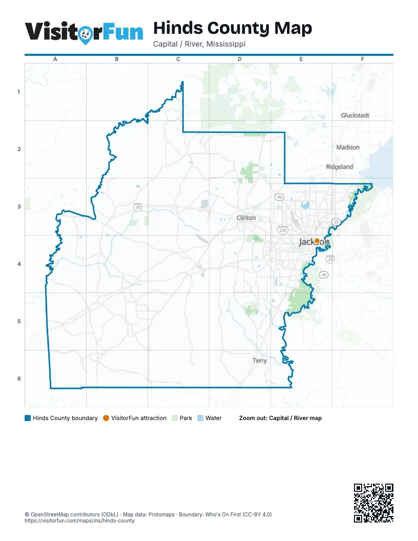
Street index of Hinds County
Each street on the sheet and the grid squares it crosses.
- South State StreetE4
Things to do on the Hinds County map
Places on the map
- Alta Woods
- Barrington
- Belhaven Heights
- Beverly Heights
- Bolton
- Briarwood
- Broadmeadow
- Broadmoor
- Brookhollow Place
- Brookleigh
- Brookleigh Hills
- Brookwood
- Bruenberg
- Brytana Lakes
- Buddy Butts Park
- Byram
- Byram Estates
- Byramdale Estates
- Canton Club
- Capitol Neighbors
- Cedar Hills
- Cherokee Heights
- Cherry Park
- Choctaw Village
- Clinton
- Clinton Park
- Colonial Club Park
- Colonial Heights
- Continental Tire
- Cottage Grove
- Cottonwood Estates
- Country Club Place
- Countrywood of Trailwood
- Eagle Ridge Golf Course
- Easthaven
- Eastover
- Edwards
- Englewood
- Fondren
- Forest Hill Place
Next to Hinds County
- Gluckstadt
- Madison
- Pearl
- Ridgeland
© OpenStreetMap contributors (ODbL) · Map data: Protomaps · Boundary: Who's On First (CC-BY 4.0)