

Oregon map
Washington County map
About 611,272 people live here (Census Bureau, 2024 estimate). The sheet's index lists 4 streets; Northwest Sunset Highway, Beaverton-Tigard Freeway and Weigh Station cross the most grid squares. Things to do inside the boundary: Carriage House Lavender, Cedartree Hotel and Hillsboro Visitor Information Center.
Open the map (PDF, US Letter)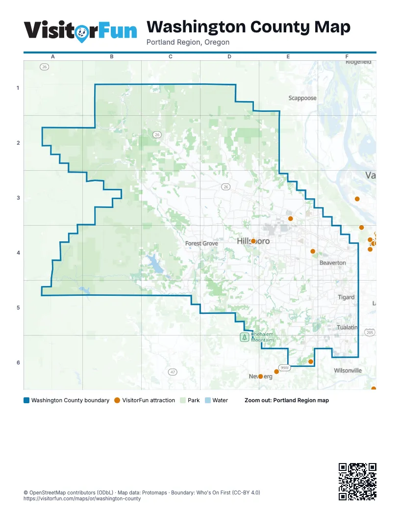
Street index of Washington County
Each street on the sheet and the grid squares it crosses.
- Northwest Sunset HighwayD3, E3, E4, F4
- Weigh StationD3
- Beaverton-Tigard FreewayF4, F5
- Sunset HighwayF4
Things to do on the Washington County map
Places on the map
- Aerts Addition
- Aldrich Acreage
- Aloha
- Amberglen
- Amberglen Business Center
- Analog Devices
- Arbor Roses
- Atfalat'i Prairie
- Atfalati Prairie South
- Baker Creek Canyon
- Banks
- Bannister Creek Greenway
- Barney Reservoir
- Barney Wetlands
- Barrows Park
- Beaverton
- Beaverton Creek Greenway
- Beaverton-Reedville Acreage
- Beef Bend Natural Area
- Berryhill
- Bethany
- Bethany Lake Park
- Bonny Slope
- Brogden Acres
- Bronson Creek Greenway
- Brookhaven
- Brynhill
- Bull Mountain
- Bumping Knots Loop
- Carpenter Creek North
- Cedar Hills
- Cedar Hills Crossing
- Cedar Mill
- Central Beaverton
- Chehalem Ridge Nature Park
- Cherry Grove
- Chiefain Dakota Greenway
- Claremont Golf Club
- Clark Historic District
- Coffee Lake Quarry
Next to Washington County
- Newberg
- Ridgefield
- Scappoose
- Wilsonville
© OpenStreetMap contributors (ODbL) · Map data: Protomaps · Boundary: Who's On First (CC-BY 4.0)