

Pennsylvania map
Berks County map
About 439,117 people live here (Census Bureau, 2024 estimate). The sheet's index lists 8 streets; William Penn Highway, Morgantown Expressway and Kutztown Bypass cross the most grid squares. Things to do inside the boundary: Historic Crystal Cave and Reading & Berks County.
Open the map (PDF, US Letter)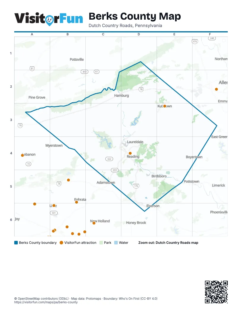
Street index of Berks County
Each street on the sheet and the grid squares it crosses.
- William Penn HighwayD2, E2, A3, B3, C3
- Kutztown BypassE2, E3
- 78th Division HighwayA3
- Morgantown ExpresswayD4, D5, D6
- Warren Street BypassD4
- West Shore BypassD4
- Pennsylvania TurnpikeD5, D6
- Pottstown BypassE5
Things to do on the Berks County map
Places on the map
- Albany Township
- Alsace Township
- Amity Gardens
- Amity Township
- Antietam Lake Park
- Bally
- Bechtelsville
- Berkleigh Golf Club
- Berks County
- Berkshire Country Club
- Bern Township
- Bernville
- Bethel Township
- Birdsboro
- Birdsboro Materials
- Birdsboro Waters
- Blue Marsh Lake
- Blue Rocks Family Campground
- Boyertown
- Brecknock Township
- Briarwood Drive
- Broadcasting District
- Broadcasting Square
- Brookfield Manor
- Buck Hollow Tract
- Caernarvon Township
- Camp Swatara
- Centerport
- Centre Township
- Cherokee Ranch (Temple)
- Colebrookdale Township
- Colony Park
- Conestoga Landfill
- Cumru Township
- Daniel Boone Homestead
- Dauberville Lake
- DCSWA Colebrookdale Landfill
- District Township
- Douglass Township
- Earl Municipal Park
Next to Berks County
- Adamstown
- East Greenville
- Elverson
- Emmaus
- Ephrata
- Honey Brook
- Lebanon
- Limerick
- Lititz
- Myerstown
- New Holland
- Northampton
- Phoenixville
- Pine Grove
- Pottstown
- Pottsville
© OpenStreetMap contributors (ODbL) · Map data: Protomaps · Boundary: Who's On First (CC-BY 4.0)